...

By Anna Skinner
Associate News Editor
0
Share
Newsweek is a Trust Project member
See more of our trusted coverage when you search.Prefer Newsweek on Googleto see more of our trusted coverage when you search.
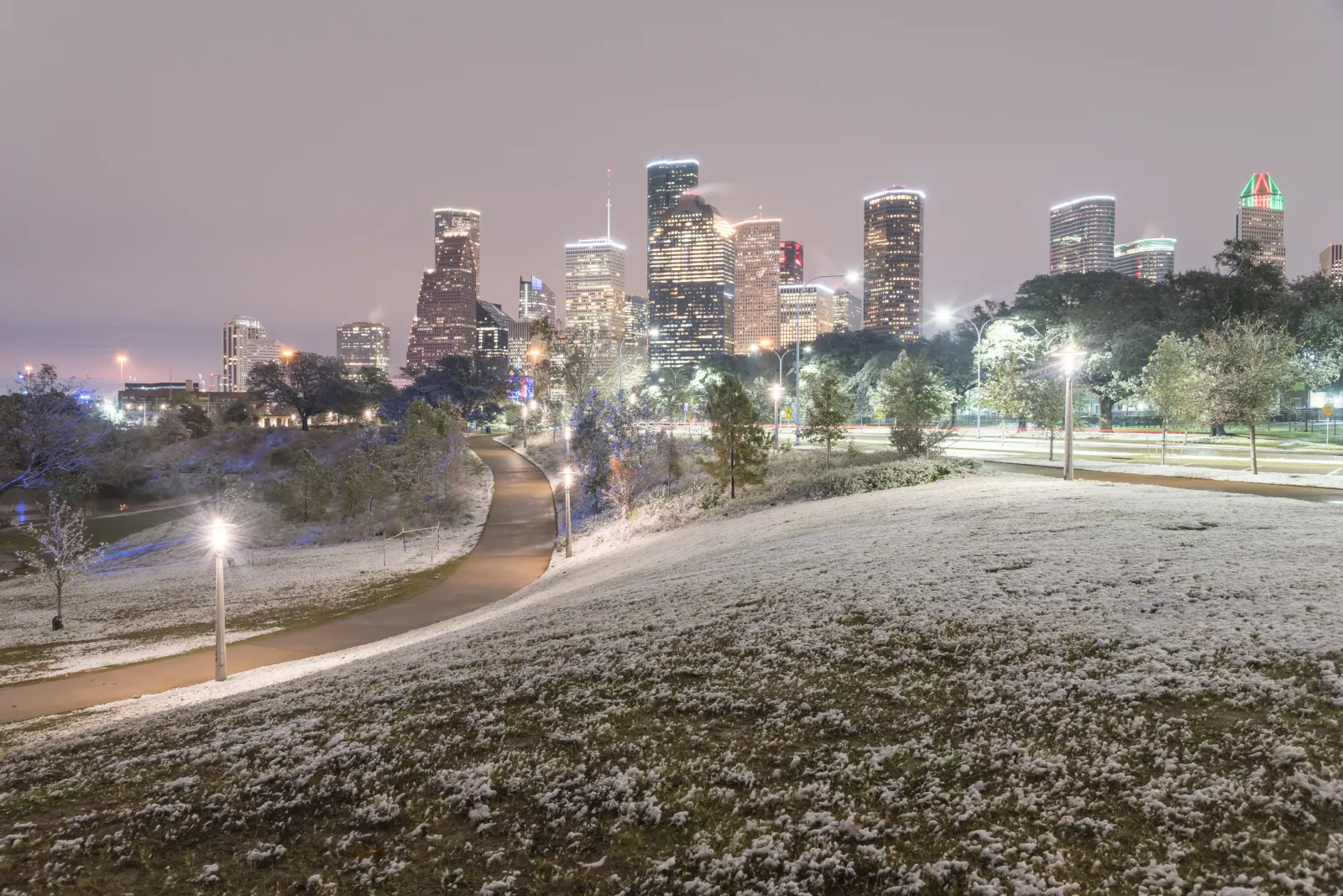
Meteorologists in Texas are warning of incoming winter weather for the panhandle on Wednesday night into Thursday as a quick-hitting storm could cause temperatures to plummet and a few inches of snow to accumulate in the Lone Star State.
It will be the region's first snowfall of the year, National Weather Service (NWS) meteorologist Luigi Meccariello told Newsweek, although it's not unusual for the Amarillo area to see snow this time of year. It remains to be seen if official winter weather advisories or winter storm warnings will be issued for the snow, and Meccariello said that decision will be made later on Tuesday.
The forecast comes as hundreds of schools were closed across the Midwest and Northeast on Tuesday amid a potent winter storm that dropped up to 12 inches of snow in some places. Winter storm warnings and winter weather advisories issued by the NWS remain in place across the Mid-Atlantic and Northeastern U.S. Although official NWS winter storm warnings are not in place for Texas, the NWS office in Amarillo is advising residents of incoming wintry conditions that could impact travel later this week.
Read More on U.S.
By mid-week, high temperatures in the Texas panhandle will drop by as much as 8 degrees, and low temperatures could plummet to the upper teens and low 20s, digital news site Chron reported.
...
On its forecast webpage, NWS Amarillo said there was a 30 to 50 percent chance for at least 1 inch of snow to fall in areas such as Amarillo, Dalhart, Vega, and Hereford, with higher chances further north in Oklahoma.
Snowfall Possibility Rising for Panhandles
"Snow potential is slowly increasing for the central and western Panhandles on Wednesday into Thursday morning. The highest potential for snow to reach or exceed 1 inch is across the western and northwestern Panhandles," NWS Amarillo said on its webpage. "Snow is also expected to start sooner than previously expected, potentially starting during the afternoon on Wednesday. There is still uncertainty with exact amounts and how widespread snow may be, so check back for the most recent forecasts."
In a post on X, the NWS office warned of a chance for low temperatures to drop below 20 degrees Fahrenheit across its entire forecast region on Thursday and Friday.
"Wind chill values are forecast to drop into the low teens to single digits. Be prepared for more cold mornings," NWS Amarillo wrote in the post.
Snow will likely accumulate between Wednesday afternoon at 3 p.m. and Thursday morning at 10 a.m. local time. Potential impacts include hazardous travel, lower visibility, and the chance for snow and ice to accumulate on roads.
Looking further ahead, the NWS Climate Prediction Center anticipates nearly all of Texas to have a chance at above-average temperatures from December 7 through December 11, with higher chances in western Texas. Most of the state has a chance at below-average precipitation during the same time period.
View 0 Comments
Submit Correction
View Editorial & AI Guidelines