...

By Amanda Greenwood
Associate News Editor
0
Share
Newsweek is a Trust Project member
See more of our trusted coverage when you search.Prefer Newsweek on Googleto see more of our trusted coverage when you search.
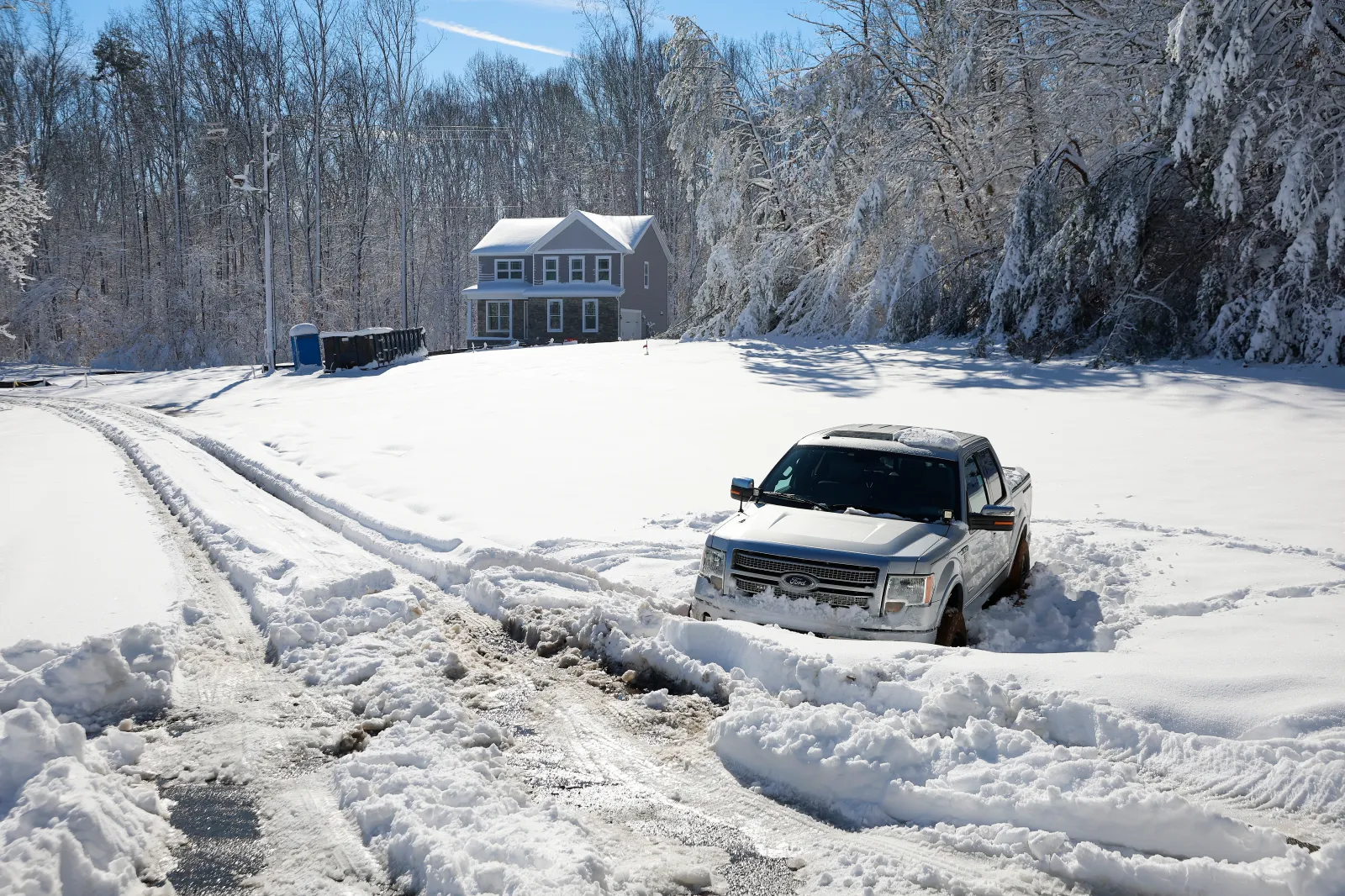
Winter weather warnings have been issued as up to seven inches of snow is expected to strike multiple counties across four states, as the National Weather Service (NWS) warns communities in affected areas to expect "poor conditions" from Wednesday, February 4.
- Essential Reading: Russia Just Put Another TACO on Trump’s Plate
- Conventional Wisdom: The Shutdown Averted Edition
States Affected By Winter Weather Warnings
The NWS has warned several counties across New York, North Carolina, Virginia and Alaska to expect winter weather from Wednesday through Thursday.
Read More on Weather
It's advised that motorists should "slow down and use caution while traveling," and call 511 to find out the latest local road conditions before they set off.
...
New York
Wayne and northern Cayuga counties have been told to expect between 2 and 4 inches of snow—with the highest amounts falling across northeast Wayne and far northern Cayuga counties—by around noon on Wednesday.
North Carolina
Bertie, Gates, Hertford, and Northampton counties could see up to 1 inch of snow from Wednesday night into Thursday morning. The NWS warns that slippery roads and "hazardous conditions" could affect the Thursday morning commute.
Parts of central North Carolina could also see up to 1 inch of snow, plus ice accumulations overnight Wednesday into Thursday morning. The NWS has said that rain is likely to turn into snow, especially over the Piedmont Triad, east along and north of Interstate 85 on Wednesday afternoon into the evening, and temperatures are expected to plummet below freezing, "creating hazardous travel," according to its winter weather warning.
Bladen, Inland Pender, and Robeson counties could experience a period of freezing rain overnight Wednesday into early Thursday morning. Although the NWS says that "no significant impacts are expected" during this time, it has warned that sidewalks, roads, and bridges are likely to become slippery, and residents in affected areas should prepare for possible power outages.
Parts of eastern North Carolina could experience freezing rain, light snow, and ice accumulations until Thursday morning, potentially making travel difficult and affecting the Thursday morning commute.
Virginia
Parts of southwest North Virginia could see up to 1 inch of sleet and snow, which is forecast to start on Wednesday evening and will continue into Thursday morning, likely affecting the Thursday morning commute.
Hampton, Poquoson, and Newport News counties are expected to get similar conditions, but local areas could face up to 2 inches of snow by Thursday morning.
Alaska
The inland and northern Bristol Bay Coast—from Dillingham to Koliganek, including New Stuyahok—the Bristol Bay Borough (which includes Naknek and King Salmon), and the central and northern Alaska Peninsula could get up to 1 inch of snow and ice by early Wednesday morning.
The summits along the Dalton, Elliott, and Steese Highway could get between 1 and 3 inches of snow—with up to 7 inches expected across the Eagle summit—by Thursday morning. Winds reaching 55 mph are likely to cause blowing snow, "significantly" reducing visibility, especially over the Dalton Highway summits.
In a polarized era, the center is dismissed as bland. At Newsweek, ours is different: The Courageous Center—it's not "both sides," it's sharp, challenging and alive with ideas. We follow facts, not factions. If that sounds like the kind of journalism you want to see thrive, we need you.
When you become a Newsweek Member, you support a mission to keep the center strong and vibrant. Members enjoy: Ad-free browsing, exclusive content and editor conversations. Help keep the center courageous. Join today.


View 0 Comments
Submit Correction
View Editorial & AI Guidelines