...

By Amanda Greenwood
Associate News Editor
0
Share
Newsweek is a Trust Project member
See more of our trusted coverage when you search.Prefer Newsweek on Googleto see more of our trusted coverage when you search.
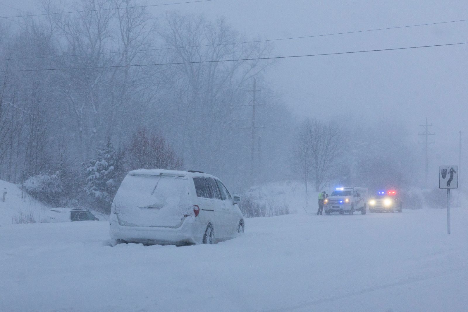
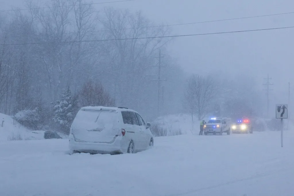
Winter storm warnings have been issued as up to 3 feet of snow and winds as high as 40 mph are expected to hit eight states from Thursday and Friday, in some cases lasting until early next week, according to the National Weather Service (NWS).
States Affected By Winter Storm Warnings
The NWS warning says the following states could be hit by severe winter weather:
Read More on News
- New York,
- Oklahoma
- Texas
- Michigan
- Maryland/Virginia
- Colorado/Utah
It has urged people in affected areas that travel may be "extremely dangerous" and to "begin needed preparations at home or with your vehicle."
...
New York
The eastern Lake Ontario region is expected to face 40 mph winds and up to 3 feet of snow by Friday night, and the NWS says the area is under a winter storm watch until Friday, as more snow and blustery winds are expected.
Northern Erie and Genesee counties could see between 4 and 9 inches of accumulated snow—especially south and east of Buffalo, to southwest Genesee—and 40 mph winds until Monday.
Between 4 and 8 inches of snow and 40 mph winds are expected in Chautauqua and Cattaraugus counties until Monday night, and southeastern St. Lawrence county could face up to 7 inches of snow and 35 mph winds from early Thursday until Friday evening.
Oklahoma
Parts of central, east central, northern, northwest, southeast, southern, southwest, and Western Oklahoma could get up to 6 inches of snow and 35 mph winds on Friday, expected to last until Sunday.
Texas
People in parts of northern Texas have been advised to stay indoors until conditions improve, as the area is forecast to be covered by 6 inches or more of snow, with 35 mph winds, ice accumulations, and "dangerously cold wind chills" from Friday until Sunday.
Michigan
Up to 6 inches of snow is expected over Western Chippewa county by Friday morning, while up to 7 inches of snow could fall over Baraga, Keweenaw, northern Houghton, Ontonagon, and southern Houghton counties by Friday night.
Between 2 and 8 inches of snow and 35 mph winds are expected in Alger, Luce, and northern Schoolcraft counties, lasting until Friday morning, which will likely impact Thursday morning and evening commutes.
Maryland/Virginia
Parts of Western Maryland, Western Virginia, and eastern West Virginia have been warned that a "major winter storm" is possible this weekend, as the NWS forecasts that up to a foot of snow and 35 mph winds are possible on Thursday, with storm watch warnings in place until Monday afternoon.
The NWS said: "Snow will likely overspread the area Saturday afternoon, becoming heavy at times Saturday night with rates of one to two inches per hour possible at times."
Colorado/Utah
Certain areas should expect between 6 and 12 inches of snow from early Friday morning through the weekend:
- The northwest and southwest San Juan Mountains
- The Gore and Elk Mountains
- The central Mountain Valleys
- Grand and Battlement Mesas
- The west Elk and Sawatch Mountains
- The Uncompahgre Plateau
- The Dallas Divide
- The La Sal and Abajo Mountains
How to Prepare For Winter Storms
The NWS has issued the following advice for people in areas likely to be affected by winter storm condition:
- Monitor local forecasts for updates
- Make sure you have extra groceries and medicines, as stores may be closed
- Keep an emergency kit, including extra batteries, a flashlight and a blanket, in your vehicle, in case you get stranded
- Refuel your car before a storm is expected to hit
- Regularly check on the elderly, friends, family, and neighbors
- Keep pets indoors, and make sure livestock have shelter and access to food and water
View 0 Comments
Submit Correction
View Editorial & AI Guidelines