...

By Amanda Greenwood
Associate News Editor
0
Share
Newsweek is a Trust Project member
See more of our trusted coverage when you search.Prefer Newsweek on Googleto see more of our trusted coverage when you search.
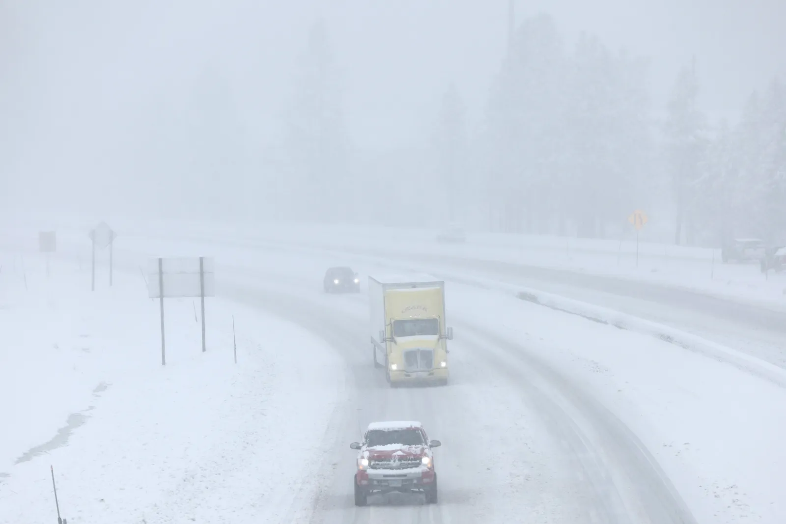
Winter storm warnings have been issued to thousands of residents across multiple states in the U.S. as up to 14 inches of snow are expected to hit from Monday, December 8, until Wednesday, December 10, making conditions "hazardous," according to the National Weather Service (NWS).
What To Know
...
Read More on News
Wyoming/Montana, Virginia, Alaska, Michigan, Tennessee, Kentucky, Washington, North Carolina, and Illinois are all expected to be the worst-affected areas, prompting the NWS to warn residents to “plan on slippery road conditions,” especially during morning and evening commutes:
Wyoming/Montana
Those in Teton, Snake River, and the Gros Ventre Mountains should prepare for between 6 and 14 inches of snow to fall until Monday morning, making travel especially difficult over the Teton Pass.
The Absaroka and Beartooth Mountains that border Wyoming and Montana could get up to 2 feet of snow and 70 mph winds until Wednesday afternoon.
Virginia
Parts of central, east central, southeastern (including New Kent, Surrey, York, James City, and Isle of Wight counties and the city of Newport News), south central (including Sussex county), and southern (including Southampton, Greensville counties) Virginia could get between 2 and 5 inches of snow, with more expected on higher ground, throughout Monday.
Alaska
The City of Hyder is expected to get up to 7 inches of snow, with visibility reduced to a mile or less, making travel “very difficult,” overnight Sunday—where up to 1 inch of snow could fall per hour—until Monday evening. Hoonah and Tenakee Springs could get up to 5 inches by midnight on Sunday, with the heaviest snow rates expected to be around Tenakee Springs.
Petersburg and Wrangell Boroughs could see up to 6 inches of snow by Monday night, and the NWS has said that “snow amounts during this period have a 30 percent chance to meet or exceed warning criteria.”
Western Kupreanof Island and Kuiu Island might get between 3 and 5 inches of snow, Prince of Wales Island up to 5 inches, Pelican and Elfin Cove up to 4 inches, and Kodiak Island (northeast) up to 5 inches, along with 45 mph winds, by Monday.
Michigan
Up to 8 inches of lake effect snow—which is localized snowfall—is expected to fall from Monday afternoon into Tuesday morning, particularly affecting the Mackinac and Chippewa county borders.
Tennessee
The Blount, Cocke, and Sevier Smoky Mountains, and southeast Greene, Johnson, southeast Carter, and Unicoi counties could get up to 3 inches of snow, especially in the mountains, until Monday night.
Kentucky
Martin, Floyd, Letcher, and Pike counties could get up to 3 inches of snow in areas above 2,000 feet, 1 to 2 inches along the ridges, and up to 1 inch in the valleys, by late Monday afternoon. Parts of east central, northeast, and southeast Kentucky could also get up to 1 inch throughout Monday.
Washington
Coastal Washington and central Washington counties could get between 3 and 5 inches of snow by Monday morning.
North Carolina
Avery, Mitchell, and Yancey counties could see up to 3 inches of snow, with 4 inches expected across the highest peaks, from Monday through to Tuesday morning.
Illinois
Lake and northern Cook counties could get between 3 and 4 inches of snow, and southern Cook county could get up to 5 inches from Monday until Tuesday morning, with the heaviest amounts set to fall overnight Monday.
What People Are Saying
The NWS for Virginia issued the following warning to travelers: “Persons should delay all travel if possible. If travel is absolutely necessary, drive with extreme caution and be prepared for sudden changes in visibility. Leave plenty of room between you and the motorist ahead of you, and allow extra time to reach your destination. Avoid sudden braking or acceleration, and be especially cautious on hills or when making turns. Make sure your car is winterized and in good working order.”
The NWS for North Carolina said: “The heavy snow will create snow covered roads and produce isolated power outages. The hazardous conditions could impact the Monday morning and evening commutes.”
What Happens Next
Those in affected areas should remain vigilant and closely monitor local forecasts as the weather could rapidly change.
View 0 Comments
Submit Correction
View Editorial & AI Guidelines