...

By Anna Skinner
Associate News Editor
0
Share
Newsweek is a Trust Project member
See more of our trusted coverage when you search.Prefer Newsweek on Googleto see more of our trusted coverage when you search.
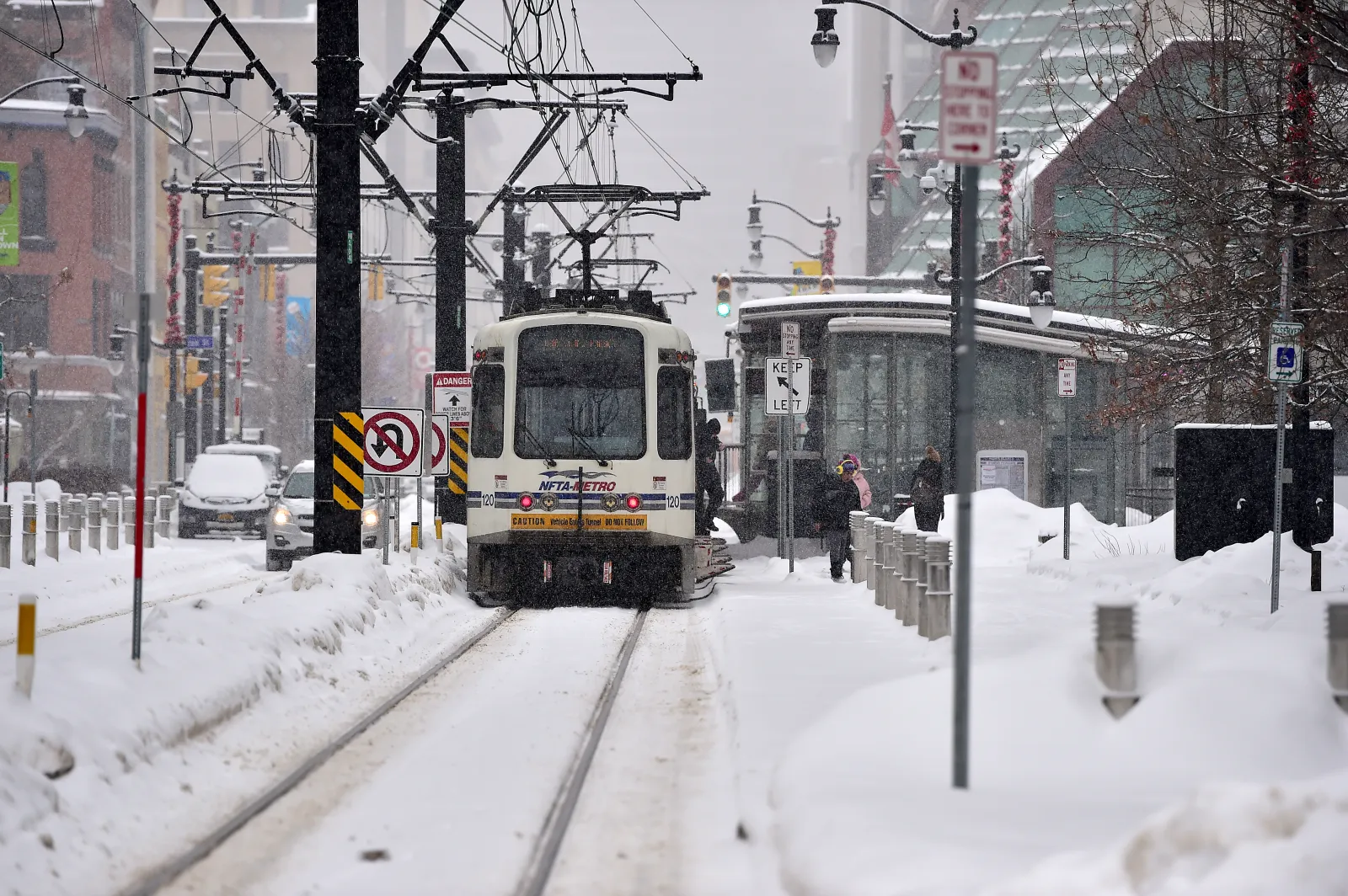
National Weather Service (NWS) meteorologists across the Northeast have upgraded a winter weather advisory to a more severe winter storm warning on Monday afternoon as millions of Americans are bracing for heavy snow and dangerous travel conditions.
In New York, the snow will begin early morning Tuesday, with snowfall rates between 1 and 2 inches through the early afternoon before tapering off, NWS meteorologist Bryan Greenblatt told Newsweek
Why It Matters
The forecast comes as much of the U.S. has seen at least double its average snowfall for the period from September 30 to November 30, according to a report from Ben Noll of The Washington Post. Heavy snow is expected to continue for the Great Lakes, Northeast, and Mid-Atlantic, with another winter storm to unleash impacts on Tuesday into Wednesday.
Read More on U.S.
What To Know
At 12:19 p.m. ET, the NWS offices in Albany and Binghamton, New York, issued a winter storm warning for areas previously under a winter weather advisory. NWS offices in Maine, Massachusetts, and Vermont also upgraded their advisories to warnings.
...
Where have Winter Storm Warnings Been Issued?
As much as a foot of snow could fall in impacted areas, which included southern Vermont, northern and western Massachusetts, southern New Hampshire, southern Maine, and southern and eastern New York.
In most cases, snow is set to begin falling early Tuesday morning and will continue throughout the day, with some warnings stretching into early Wednesday morning.
Meanwhile, nearly the entire Northeast remains under the less severe winter weather advisory.
People were urged to delay unnecessary travel during the worst of the storm. However, if they must travel, the NWS suggests keeping a survival kit in the car, including an extra flashlight, food, and water.
Winter Storm Watch vs. Winter Storm Warning: What's the Difference?
Winter storm watches are issued further in advance, as NWS meteorologists try to alert people to incoming impacts. Winter storm warnings are more severe and are issued closer to the storm.
"Normally, a Winter Storm Watch will be issued in advance of the storm (usually at least 24 hours). It indicates the risk of a hazardous winter weather event has increased (at least a 50 percent chance of it occurring), but its occurrence, location, and/or timing is still uncertain," the NWS said in a webpage about both alerts. "As the event becomes imminent, a watch will normally be upgraded to either a warning or an advisory."
What People Are Saying
NWS office in Gray, Maine, in a winter storm warning: "A snowstorm will bring plowable snow to the region with a period of moderate travel impacts expected. Periods of moderate snow and low visibility will be the biggest hazards. The potential exists for snowbands that will bring periods of locally heavy snowfall, which will lead to rapid snow accumulations and extremely dangerous travel conditions. Periods of moderate and heavy snow will combine with low visibility to create dangerous driving conditions. The hazardous conditions could impact the Tuesday morning and evening commutes."
NWS in a Monday forecast: "Moist onshore flow in the colder air north of the system will help to enhance winter precipitation across much of New England and the Mid-Atlantic, especially inland from the coast, bringing the first impactful winter storm of the season. Although uncertainty remains with respect to specific totals, the threat for significant snow accumulations across the interior is rising, with more than 6" possible north and west of the I-95 corridor. In addition, treacherous icing is expected further south along portions of the central/southern Appalachians."
What Happens Next
Heavy snow will begin falling across parts of the Northeast early Tuesday morning, with impacts expected to persist until Wednesday morning at least. People living in the impacted regions should follow all local weather guidance and drive cautiously, as roads will be affected.
Correction 12/01/25, 4:55 p.m. ET: This article was updated to correct the spelling of Bryan Greenblatt's name.
View 0 Comments
Submit Correction
View Editorial & AI Guidelines