...

By Amanda Greenwood
Associate News Editor
0
Share
Newsweek is a Trust Project member
See more of our trusted coverage when you search.Prefer Newsweek on Googleto see more of our trusted coverage when you search.
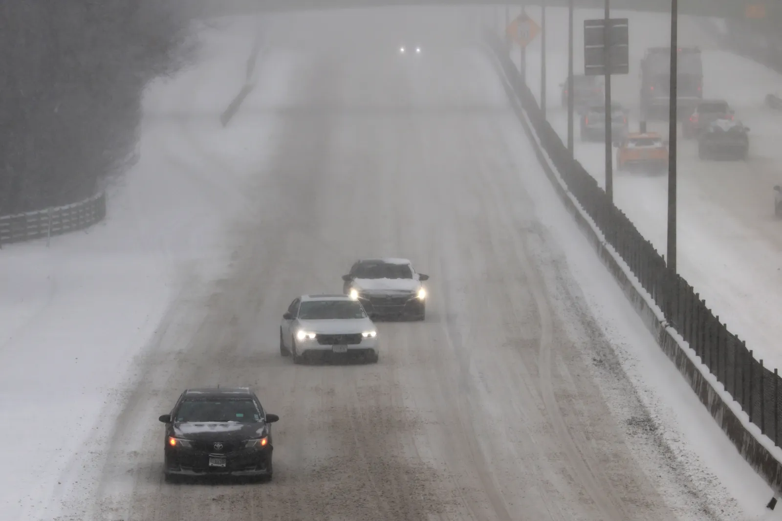
Winter storm warnings have been issued to four states, as the National Weather Service (NWS) warns that strong winds and up to 22 inches of snow are expected to fall from Monday or Tuesday, advising some communities to “stay indoors until conditions improve.”
States Affected by Winter Storm Warnings
Heavy snow and strong winds are likely to bring severe winter weather conditions to parts of California, Nevada, Colorado, and Oregon.
Read More on News
...
California
Up to 3 feet of snow is expected to fall across the Sierra Madre Range from early Tuesday morning until Thursday, with visibility likely to fall below a quarter of a mile at times, making driving travel difficult, and outdoor activities “life-threatening to those caught unprepared for severe winter conditions,” the NWS says.
By Wednesday night, the eastern Sierra slopes could get between 8 and 16 inches in areas at or below 6,000 feet and up to 3 feet in areas above 8,000 feet, and is likely to get winds reaching 70 mph at times. The White and Inyo Mountains are likely to see similar conditions, but with winds only reaching 50 mph.
The San Bernardino county Mountains could get between 8 and 15 inches of snow by Thursday, predominantly in areas between 6,000 and 7,500 feet, with winds gusting at around 70 mph.
Parts of central California are expected to get 60 mph winds and up to 5 feet of snow in places above 6,000 feet, and the Frazier Mountains, Piute Walker Basin, and Tehachapi should brace themselves for up to 22 inches of snow and 70 mph winds until Wednesday night.
Trinity County could get total snow accumulations ranging from 1 to 2.5 feet in areas above 3,000 feet, and the southwestern Humboldt, in places above 2,500 feet, could get up to 12 inches and 55 mph winds, lasting until Wednesday.
The Humboldt and Del Norte Interior could see between 6 and 16 inches of snow and 45 mph winds by Wednesday evening, with the heaviest snowfall expected overnight Monday into Tuesday morning.
Up to 3 feet of snow could fall along, and west of US-395 in Mono county—with winds reaching up to 70 mph in exposed areas—and up to 5 feet of snow could fall along the highest peaks of the Sierra crest, until Wednesday night.
Southern and eastern Siskiyou—including Highways 97 and 89—and western Siskiyou county, near the Oregon border, could see up to 15 inches of snow—with between 1 and 3 feet expected in elevated areas above 4,500 feet—and 40 mph winds until Thursday morning.
Nevada
The Sheep Range and Spring Mountains could get a “three-day” snow accumulation, which could exceed 2 feet in areas above 9,000 feet and reach 12 inches at 5,000 feet or below.
The snow is forecast to start on Monday and end on Wednesday night.
During that time, 50 mph winds could create whiteout conditions, which are likely to make travel “difficult to impossible,” and the NWS advises residents in the affected areas to “consider delaying all travel.”
Esmeralda and Central Nye counties could see around 10 inches of snow and 45 mph winds by Wednesday night, making travel, especially on Highway 266 over the Lida summit and Highway 95, “difficult at times.”
The Ruby Mountains and the east Humboldt Range in Elko county could get between 1 and 2 feet of snow and 55 mph winds from Monday afternoon through Wednesday night.
Colorado
Between 10 and 20 inches of snow could fall across Rabbit Ears Pass, and winds reaching 60 mph could cause “sudden snow squalls,” which will bring “quick, intense bursts of snow and rapidly reduced visibility” from Tuesday morning, lasting until Thursday.
Northwest and southwest San Juan, Elkhead, Park, west Elk, and the Sawatch Mountains, along with the Grand and Battlement Mesas, will see similar conditions—but with 70 mph winds—starting from Monday night.
The Flat Tops, the Gore and Elk Mountains, and the central Mountain Valleys are forecast to get up to 16 inches of snow and winds as high as 65 mph from Monday night, lasting until Thursday morning. The NWS says this is likely to cause blowing snow, which could result in “near zero visibility at times.”
Up to 15 inches of snow and 60 mph winds are expected over the Uncompahgre Plateau and Dallas Divide until Thursday.
Oregon
Cave Junction, O’Brien, Selma, and Wolf Creek—including parts of I‑5 and Highway 199—could see up to 12 inches of snow in the southern Illinois Valley and up to 2 feet in the Kalmiopsis region by Thursday morning.
View 0 Comments
Submit Correction
View Editorial & AI Guidelines