...

By Amanda Greenwood
Associate News Editor
0
Share
Newsweek is a Trust Project member
See more of our trusted coverage when you search.Prefer Newsweek on Googleto see more of our trusted coverage when you search.
Counties across California and Nevada have been told to prepare for up to 18 inches of snow by the National Weather Service (NWS), which has issued winter weather advisories to affected areas from Thursday into Friday.
Why It Matters
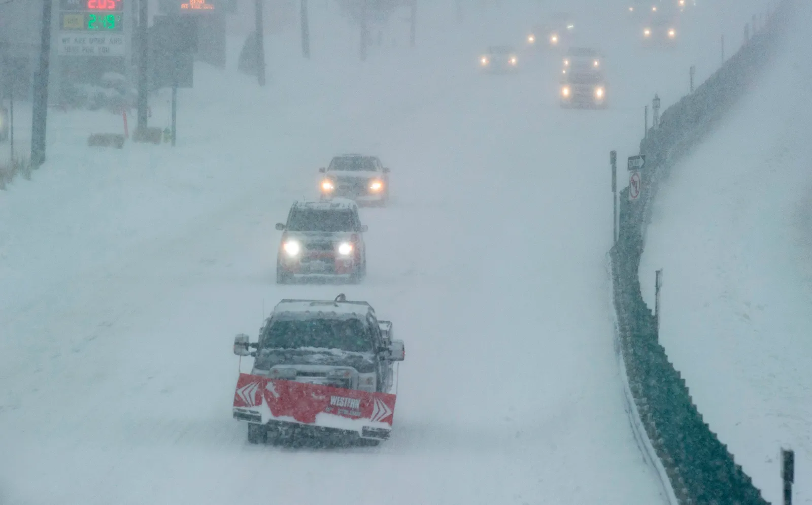
Roads—especially bridges and overpasses—are likely to become “slick and hazardous,” making travel difficult, which could affect morning and evening commutes, especially on Thursday. The NWS has urged drivers to “delay all travel if possible.”
Read More on News
What To Know
...
The central and southern parts of the Sierra Nevada, from Yosemite National Park to Tulare County, should expect to see between 6 to 12 inches of snow above 8,000 ft, and up to 18 inches at higher elevations, with winds gusting as high as 40 mph.
Mono County should prepare for snow accumulations of up to 12 inches above 9,000 feet and winds up to 70 mph along the highest peaks. Lower regions could see up to 4 inches of snow and 50 mph winds.
West Slope Northern Sierra Nevada is expected to get between 3 and 8 inches of snow, south of Highway 50, and up to 18 inches on the highest peaks, above 7,000 feet.
The Eastern Sierra Slopes are forecast to get up to 12 inches of snow above 9,500 feet with 50 mph winds. The Las Vegas NWS has issued a specific warning for drivers to expect slippery road conditions on Highway 168, near Aspendell.
The Greater Lake Tahoe Area could see up to 6 inches of snow in areas above 8,000 feet with winds up to 90 mph along the highest ridges. Lower areas–between 7,500 and 8,000 feet—could get up to 4 inches with 30 to 40 mph winds. Lake Tahoe itself could get wind gusts of up to 40 mph, which might create waves between 2 and 4 feet.
What People Are Saying
The NWS for Hanford, in California, issued the following statement: “If travel is absolutely necessary, drive with extreme caution and be prepared for sudden changes in visibility. Leave plenty of room between you and the motorist ahead of you, and allow extra time to reach your destination. Avoid sudden braking or acceleration, and be especially cautious on hills or when making turns. Make sure your car is winterized and in good working order.”
The NWS for Las Vegas has warned: “There remains uncertainty in the timing, snow levels, and snow amounts with this system. Changes to the forecast are possible as details become more clear.”
What Happens Next
Residents and travelers in affected areas should avoid travel if possible, keep livestock and pets warm and sheltered, and regularly check local forecasts for updates, as the NWS remains uncertain about the current weather system.
View 0 Comments
Submit Correction
View Editorial & AI Guidelines