10
Loading video...

By Joe Edwards
Reporter
0
Share
Newsweek is a Trust Project member
See more of our trusted coverage when you search.Prefer Newsweek on Googleto see more of our trusted coverage when you search.
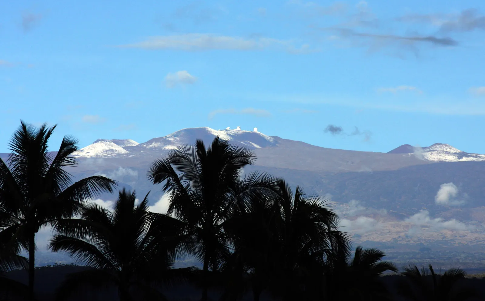
A winter storm swept across Hawaii early this week, bringing snow to the state’s higher elevations.
“Deep moisture being drawn up from the south ahead of a developing cold core Kona Low will produce periods of heavy snow and ice over the summits Mauna Loa and Mauna Kea,” a winter storm warning from the National Weather Service (NWS) forecast office in Honolulu dated early Sunday morning said.
The alert said that heavy mixed precipitation and “significant” rime icing accumulating over roadways was possible.
Read More on News
Video captured the summit of Mauna Kea blanketed in snow as flakes drifted down from the sky during the winter storm.
Another clip shared by the U.S. Geological Survey (USGS) showed a timelapse of snow falling at the summit of Mauna Loa, the largest active volcano on the planet.
“Much of Hawaii remains under a flood watch today, January 5, but that rain falls as snow at the high-altitude summit of Mauna Loa,” the agency said.
The National Oceanic and Atmospheric Administration (NOAA) explains that a Kona Low is a type of seasonal subtropical cyclone which normally forms in the winter months that disrupts Hawaii’s usual easterly trade winds, bringing cooler, moisture-rich winds from the south to southwest.
These storms can deliver torrential rain and even heavy snow on Mauna Kea and Mauna Loa—the highest volcanic peaks of the Big Island, according to the agency.
“The word ‘kona’ means ‘leeward’ in Hawaiian, which refers to the side of an island that is usually sheltered from prevailing trade winds and associated rainfall,” it says.
“Kona Lows themselves typically occur two to three times per season, but the mountain peaks see snow more often,” AccuWeather meteorologist Lydia Burroughs told Newsweek on Wednesday.
...
“While Kona Lows typically bring the heaviest snow, the mountain peaks still see winter advisories 25-30 times per year. Since Hawaii does not officially record snow, it is difficult to tell how many of these advisories actually resulted in snow accumulations, but suffice it to say it is not unusual for them to see snow during the winter months.
“Kona Lows do occur outside the winter season in the fall or spring, but this is rare and does not always guarantee snow for the peaks of the mountains,” Burroughs added.
Meteorologist Will Ahue, with the NWS’ Honolulu forecast office told news website SFGATE that while there were no official measurements, approximately 2 to 3 feet of snow was dropped.
Mauna Kea Volcano rises 13,796 feet above sea level, according to the USGS. “Mauna Loa Volcano stands not quite as high as Mauna Kea, but is much larger in volume,” it says.
"There is no indication that a Kona Low is going to form again this week," Burroughs said. "While winds may briefly shift become southwesterly on Monday, as one would expect from a Kona Low, this is from a different source (a weak high to their south) that will not feed cold air from the north to the mountain peaks."
View 0 Comments
Submit Correction
View Editorial & AI Guidelines