...

By Anna Skinner
Associate News Editor
0
Share
Newsweek is a Trust Project member
See more of our trusted coverage when you search.Prefer Newsweek on Googleto see more of our trusted coverage when you search.
National Weather Service (NWS) meteorologists issued an urgent warning late Wednesday morning as heavy rain continued to hammer desert areas in Arizona.
These areas usually see only 1.5 to 2 inches of rain for the entire month, with as much as 3 inches already falling over the past 12 to 24 hours.
"They are getting over a month's worth of precipitation out of this storm alone," NWS meteorologist-in-charge Brian Klimowski told Newsweek.
Read More on U.S.
Why It Matters
Whereas some weather alerts can be issued hours or even days in advance, this warning in particular stressed that life-threatening "flash flooding is ongoing or expected to begin shortly," highlighting the importance and urgency of how residents in the area should respond to the message.
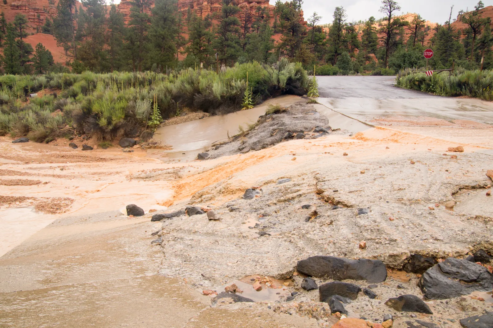
Heavy rainfall can quickly flood dry, desert areas, exacerbating the impacts and, in some cases, becoming life-threatening.
What To Know
NWS Flagstaff issued the flash flood warning at 10:53 a.m. MST after radar showed thunderstorms laden with heavy rain. Up to 3 inches of rain had already fallen in the warned areas, with up to an additional .5 inches possible.
The flash flooding was so severe that it was considered life-threatening, the warning said. Areas included in the warning are Coconino, considered high desert; Gila, in the Sonoran Desert; and Yavapai.
"Life threatening flash flooding of creeks and streams, normally dry washes, urban areas, highways, streets and underpasses," the warning said.
...
Several highways were included in the warning area, including State Route 260 near mile marker 248 and State Route 87 between mile markers 273 and 276 and near mile marker 278.
All swimming holes and waterfalls on Fossil Creek and Fossil Creek Dam were also included in the warning area, as were the Verde River, Hardscrabble Creek, Houston Creek, Fossil Creek and West Clear Creek.
"Flooding of washes and creeks will occur, some dirt roads will become muddy and impassable. Paved roads and underpasses could become flooded as well," the warning said.
In addition to the flash flood warning, a more widespread flood watch was also in place.
What People Are Saying
NWS Flagstaff in a flood watch: "A slow moving storm system will continue to bring periods of rain and a few thunderstorms through this afternoon. Additional heavy rainfall will lead to a threat of flooding."
NWS Flagstaff in an infographic: "NEVER drive into flood waters."
NWS in a Wednesday forecast: "On Wednesday, low pressure and the associated front over the Southwest will move eastward to the Central/Southern Plains by Thursday, then northeastward to southeastern Canada by Friday. The system will produce heavy rain and thunderstorms over parts of the Southwest and rain/higher-elevation snow over parts of the Central/Southern Rockies overnight Wednesday into Thursday."
What Happens Next
The flash flood warning is currently in effect, and NWS Flagstaff did not provide an expiration time. People in affected areas are urged to avoid flood-prone areas and never drive through flooded roadways, as most flood-related deaths occur in vehicles.
NWS Flagstaff will update the warning as needed based on the forecast.
View 0 Comments
Submit Correction
View Editorial & AI Guidelines