...

By Anna Skinner
Associate News Editor
0
Share
Newsweek is a Trust Project member
See more of our trusted coverage when you search.Prefer Newsweek on Googleto see more of our trusted coverage when you search.
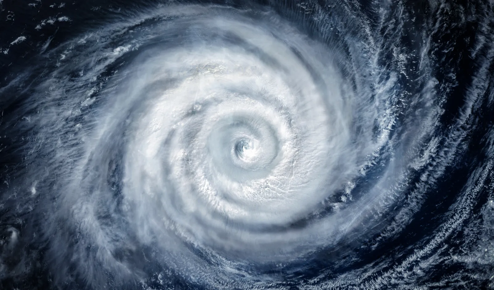
The Artificial Intelligence Forecasting System (AIFS) is predicting triplet cyclones to form in the Pacific Ocean next week, raising new questions about how extreme the coming El Niño might become, as federal forecasters report that La Niña is fading and conditions are lining up for a strengthening warm‑phase El Niño–Southern Oscillation (ENSO) event that could influence global weather patterns throughout the latter half of the year.
The equatorial Pacific is expected to transition from ENSO‑neutral to El Niño over the summer, with a roughly 62 percent chance of development between June and August and the potential for a moderate to strong event by fall. AccuWeather forecasters have previously estimated a 15 percent chance that this year’s El Niño intensifies into a rare “super El Niño."
The potential formation of the triplet cyclones next week is an indicator that the incoming El Niño could be particularly strong, AccuWeather senior meteorologist Chad Merrill told Newsweek.
Read More on Weather
...
"Triplet cyclones? AIFS has been steadfast in its expectation for triplet cyclones in the western Pacific next week," The Washington Post meteorologist Ben Noll posted on X. "A significant westerly wind burst is possible from this pattern. It will be interesting to see what happens — this is not something you see every year!"
In a forecast model image shared with Noll's post, there are three possible cyclones in the Pacific on April 11, according to the AIFS forecast. One is in the Northwestern Pacific, east of the Philippines and south of Japan; the second is in the Central Pacific, between Hawaii and the equatorial Western Pacific, and the third is in the South Pacific, east of Australia and north of New Zealand.
It is rare for such storms to form at the same time, Merrill said. If they do, he said they will likely fizzle out before hitting any land masses in the Western Pacific. Some indirect impacts, such as rain, might affect parts of coastal Australia, but Merrill said there would be no impacts in the U.S., including in Hawaii.
However, the cyclones could push warm water in the Western Pacific further east, which will allow for the onset of an El Niño "pretty quickly," Merrill said. Something similar occurred in 2015 and 1997, when twin tropical cyclones developed early in the season.
"Both of those years did become very strong El Niño years, super El Niño events," Merrill said.
What Is a Super El Niño?
A super El Niño is defined by sea‑surface temperature anomalies exceeding 2 degrees Celsius, an event recorded only a few times in the past 30 years. A stronger El Niño can reshape storm patterns across multiple ocean basins, favoring increased cyclone activity in the Eastern and Central Pacific while suppressing storms in the Atlantic.
Is a Super El Niño Coming to the U.S.?
Should a super El Niño form, impacts could be felt in the U.S., including warmer, drier conditions in the North, wetter, cooler conditions in the South and suppressed Atlantic hurricane activity, among others.
Update 3/31/26, 1:43 p.m. ET: This article was updated to include additional information.
View 0 Comments
Submit Correction
View Editorial & AI Guidelines