...

By Anna Skinner
Associate News Editor
0
Share
Newsweek is a Trust Project member
See more of our trusted coverage when you search.Prefer Newsweek on Googleto see more of our trusted coverage when you search.
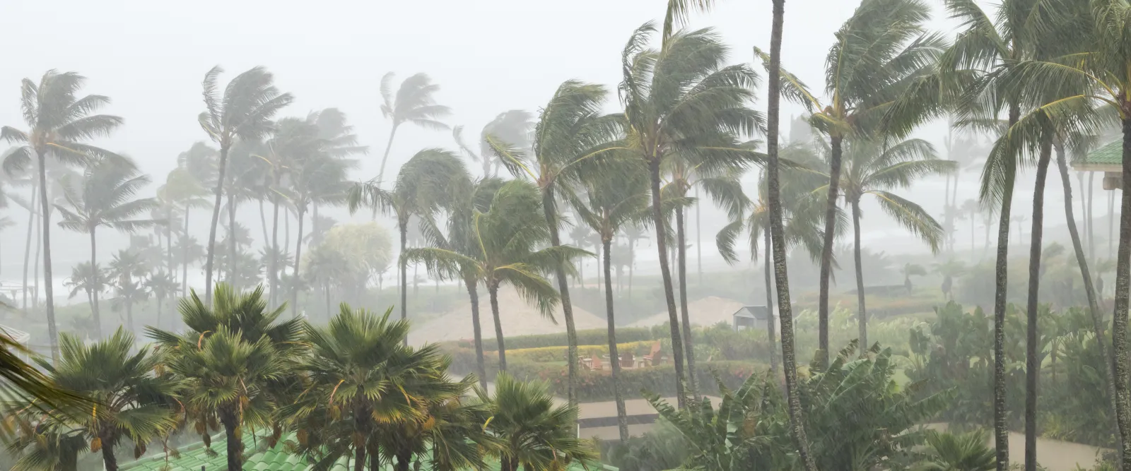
A powerful Kona storm set to sweep across Hawaii this week could generate a highly unusual combination of hazards, including the potential for tornadoes and summit-level snow, National Weather Service (NWS) senior forecaster Jon Jelsema told Newsweek.
The NWS office in Honolulu issued a Special Weather Statement early Monday that warned of days' worth of severe thunderstorms set to unleash hail, damaging wind, and torrential rainfall across the state beginning on Tuesday. The agency last issued a severe thunderstorm warning for Hawaii in January 2025, Jelsema said, underscoring how rare the coming conditions may be.
Thunderstorms capable of producing tornadoes can form quickly and with little advance notice, leaving residents only minutes to react. In places where tornadoes are uncommon, such as Hawaii, people may not recognize the danger or know the protective steps to take, making the threat even more severe. Meteorologists emphasize that immediate action is critical when warnings are issued, as rapidly developing storms can become life‑threatening in a very short time.
Read More on Weather
...
The Kona storm is expected to begin hitting Hawaii’s western islands as early as Tuesday before spreading across the statewide island chain by midweek, the NWS said. While flash flooding remains a major concern, confidence is growing that "strong to severe thunderstorms may develop Wednesday into the weekend."
Forecasters noted that damaging winds will likely be the main hazard, but large hail is also possible. Embedded within these thunderstorms is the potential for isolated tornadoes. Though uncommon, tornadoes do occasionally occur in Hawaii, typically within strong Kona low events. Meteorologists stress that the instability forecast this week is sufficient to support rotation within storms.
"The ingredients necessary for tornado formation are there," Jelsema told Newsweek. "Due to unstable conditions, there could be gusty winds that produce damage and even some hail. It's quite an unusual event. It's going to be a wild week here in Hawaii."
The severe thunderstorm threat could last through Saturday, exposing Hawaii residents and tourists to days' worth of thunderstorms.
"This is a very anomalously strong system moving into the islands," Jelsema said. "There is a deep tap into tropical moisture coming from the south, and strong southerly winds for days on end combined with cold temperatures aloft in the upper level of the atmosphere is setting the stage for a pretty unstable air mass."
In addition to convective threats, the storm system could create conditions cold and unstable enough for snow at Hawaii’s highest elevations, including the summits of Mauna Kea and Mauna Loa.
With flash flooding, severe thunderstorms, tornado potential, snow at high elevations, and powerful winds all possible, emergency officials urge residents and visitors to monitor updates closely. Because severe weather develops quickly, officials advise people to know where to take shelter, avoid driving through flooded areas, and secure outdoor items ahead of the storm.
In addition to possible severe thunderstorm and flash flood warnings, wind advisories and high wind warnings are possible. More detailed watches and warnings are expected as the system approaches and its impacts become clearer. Jelsema said meteorologists will monitor the incoming storms closely as they approach the islands later this week.
View 0 Comments
Submit Correction
View Editorial & AI Guidelines