...

By Anna Skinner
Associate News Editor
0
Share
Newsweek is a Trust Project member
See more of our trusted coverage when you search.Prefer Newsweek on Googleto see more of our trusted coverage when you search.
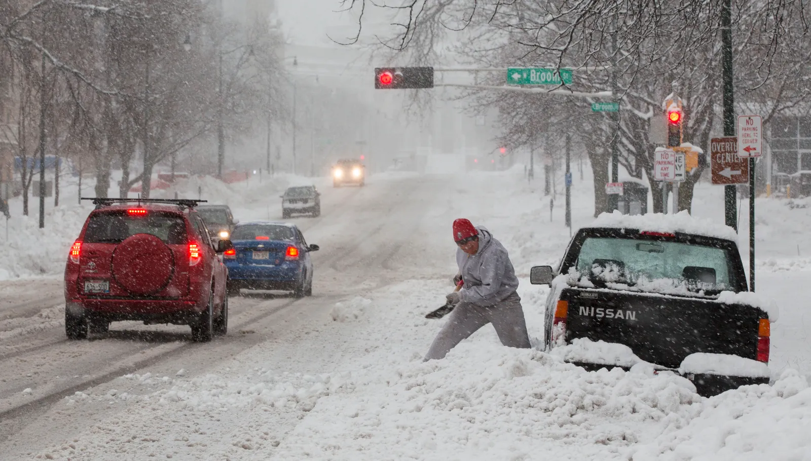
National Weather Service (NWS) meteorologists issued a fresh batch of winter storm warnings across the Upper Midwest on Monday afternoon ahead of a new system that is set to dump up to 15 inches of heavy snow.
The warnings come as the West is walloped by a significant winter storm, dumping up to 8 feet of heavy snow in some mountainous areas. Widespread winter storm warnings and winter weather advisories are in place across the region. A second storm will sweep across the region beginning on Tuesday, and over the course of the day, will trek further into the U.S., bringing impacts across the Upper Midwest and into the Great Lakes region by Thursday.
"A second front will move onshore over the West Coast on Tuesday evening, advancing eastward to the Rockies by Wednesday. The second storm will produce lower-elevation rain and higher-elevation snow over the West Coast," the NWS said in a Monday forecast."
Read More on U.S.
It added: "Snow will continue over the Northern Intermountain Region, Great Basin, and the Rockies. As the low moves out of the Rockies on Tuesday, rain and snow will develop over parts of the Northern Plains/Upper Mississippi Valley. Snow and rain will move into the Great Lakes from Tuesday evening into Wednesday. Along the rain/snow line, rain/freezing rain will develop from the Northern Plains into the Upper Great Lakes, while rain develops over the Middle Mississippi Valley into the Ohio Valley."
The NWS office in Duluth, Minnesota, issued several winter storm warnings at 1:23 p.m. local time on Monday for northeastern Minnesota and northwestern Wisconsin. The alerts warned of heavy snow, with the heaviest amounts up to 15 inches expected in the higher terrain of the North Shore. Heavy snow accumulations will fall in Cook, Lake, Carlton, St. Louis, Bayfield and Douglas counties.
Newsweek reached out to the NWS office in Duluth by phone for comment.
...
Amounts could range from 5 to 15 inches depending on the location. Ice and strong winds also were listed as hazards with the incoming system.
"The strong winds and weight of snow on tree limbs may down power lines and could cause sporadic power outages," the winter storm warning said. "Travel could be very difficult. The hazardous conditions could impact the Wednesday morning and evening commutes."
In some cases, the combination of heavy snow and strong winds will create near whiteout conditions.
"Travel could be very difficult. The hazardous conditions could impact the Wednesday morning and evening commutes," the warning said.
In addition to the winter storm warnings that were issued on Monday afternoon, a swath of land from northeastern Montana across northern North Dakota, northern Minnesota, and into northern Michigan remains under a winter storm watch. These watches could be upgraded to warnings as the storm time gets closer.
People residing within the impacted areas are urged to monitor their local forecasts as the winter storm progresses through the area.
In a polarized era, the center is dismissed as bland. At Newsweek, ours is different: The Courageous Center—it's not "both sides," it's sharp, challenging and alive with ideas. We follow facts, not factions. If that sounds like the kind of journalism you want to see thrive, we need you.
When you become a Newsweek Member, you support a mission to keep the center strong and vibrant. Members enjoy: Ad-free browsing, exclusive content and editor conversations. Help keep the center courageous. Join today.


View 0 Comments
Submit Correction
View Editorial & AI Guidelines