...

By Anna Skinner
Associate News Editor
0
Share
Newsweek is a Trust Project member
See more of our trusted coverage when you search.Prefer Newsweek on Googleto see more of our trusted coverage when you search.
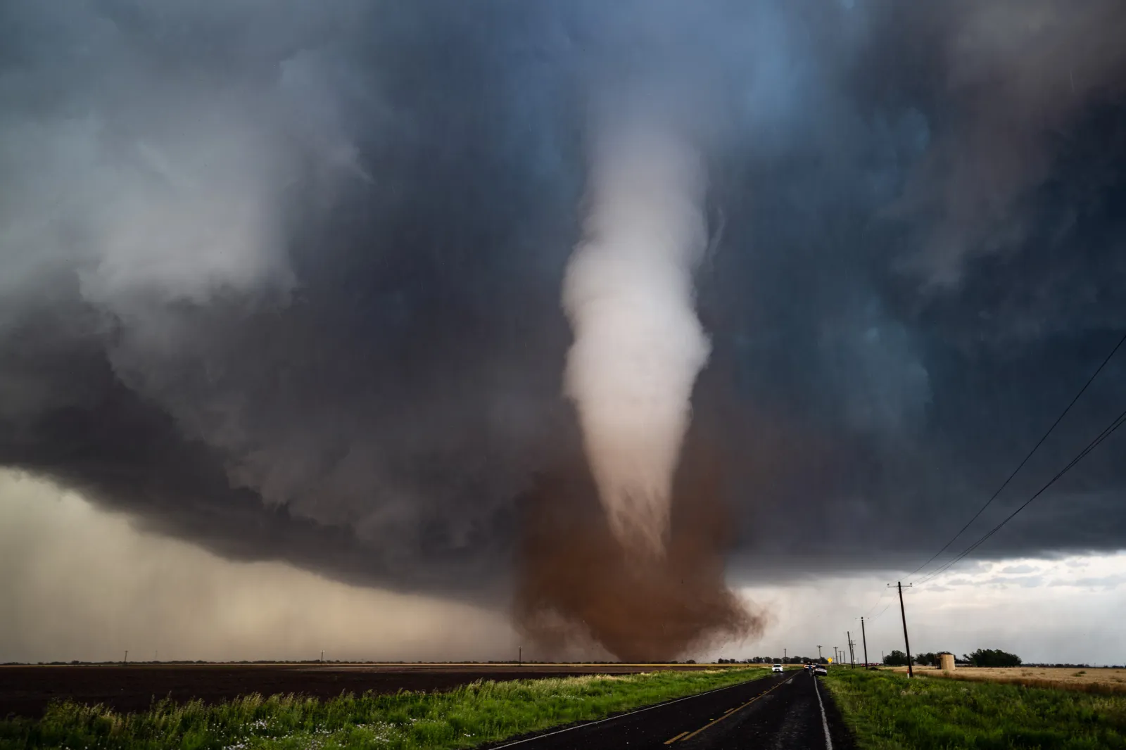
Severe storms and even tornados are expected across the Upper Midwest from Monday afternoon through Monday evening, particularly for Minnesota, Iowa and Wisconsin.
Why It Matters
Dangerous storms have impacted the High Plains since last Thursday, and now the storms will move further east to bring similar threats to the Upper Midwest. The widespread severe storms could cause travel disruptions and power outages, meteorologists warned, with peak storms occurring from Monday afternoon into Monday night.
Read More on U.S.
What to Know
The biggest risks will be large hail, damaging wind gusts and even tornados. National Weather Service (NWS) meteorologists urged people in the affected areas to remain alert and stay informed about active warnings.
...
Wind gusts
Animated weather footage from windy.com estimates that as of 12:45 p.m. Eastern time, wind gusts in southern Minnesota and central Iowa were measuring around 36 mph. Wind is expected to strengthen as the day persists, and numerous National Weather Service (NWS) offices across the region warned of approaching damaging winds that will hit this evening.
Weather Radar
Thunderstorms were trekking across North Dakota and northwestern Minnesota on Monday morning. Approaching storms are expected to descend further south and bring severe impacts across southern Minnesota, Iowa and southwestern Wisconsin by Monday evening.
Rain
By Monday evening, windy.com footage anticipates the heaviest rain will impact central Minnesota.
Storms
The animated weather footage shows the strongest thunderstorms moving southeast from Minnesota through Iowa and Wisconsin and into northern Illinois as the night progresses before dissolving.
What People Are Saying
AccuWeather senior meteorologist Tom Kines told Newsweek: "The thunderstorms will get going mid-afternoon into at least the first half of tonight. There's a high risk for tornados for parts of Minnesota down into Iowa. That's not to say there can't be tornados farther south, even all the way down into Texas."
Kines warned there could be a secondary area with severe weather in Oklahoma and Texas.
NWS Twin Cities in a hazardous weather outlook: "Numerous severe thunderstorms are likely this afternoon and early evening. There is a Moderate Risk of severe thunderstorms (level 4 of 5) across much of the area. Very large hail, damaging winds, and tornadoes are likely. A few strong tornadoes are possible."
What Happens Next
The worst storm threat will move out of the Upper Midwest by Monday night. However, many hazardous weather outlooks issued by NWS offices across the Upper Midwest region said the threat is nonexistent after Monday.
View 0 Comments
Submit Correction
View Editorial & AI Guidelines