...

By Joe Edwards
Reporter
0
Share
Newsweek is a Trust Project member
See more of our trusted coverage when you search.Prefer Newsweek on Googleto see more of our trusted coverage when you search.
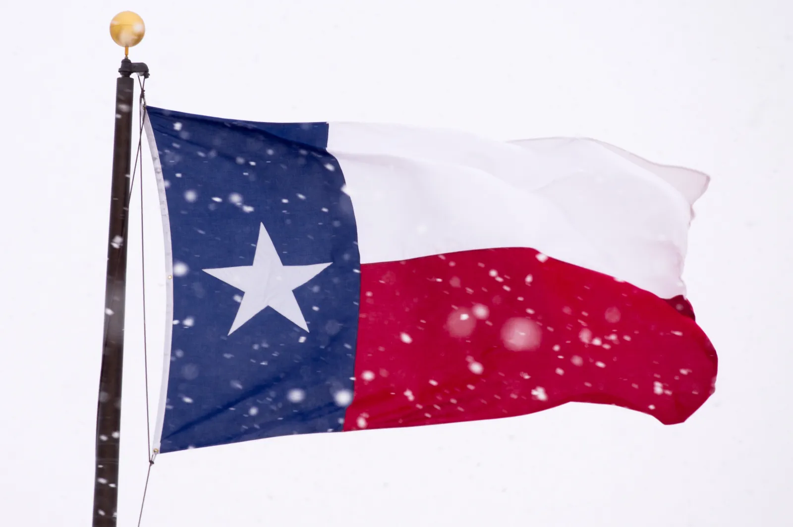
Texas’ Panhandle is set to see snowfall on Thursday, with forecasters calling for several inches in some areas.
Across affected areas the National Weather Service (NWS) has warned that wintry weather could lead to challenging conditions for drivers.
As of early Thursday winter weather advisories—which the NWS issues when wintry conditions are “expected to cause a significant inconvenience, but not serious enough to warrant a warning”—span the Panhandle early on Thursday, where the agency says between 1 and 4 inches of snow are expected.
Read More on News
The Amarillo office said in a post on X, Wednesday: “An update to the forecast for tonight. Snow amounts are ramping up in the northwest, and south of the Canadian River Valley. All the Panhandles now have a winter weather advisory for at least 1 inch of snow, but there are a few areas showing increased snow chances.”
The NWS is cautioning drivers in the region to plan for slippery roads, and warns that the “hazardous conditions” could hamper Thursday morning commutes.
Affected counties include:
- Armstrong
- Bailey
- Briscoe
- Carson
- Castro
- Childress
- Collingsworth
- Dallam
- Deaf Smith
- Donley
- Gray
- Hale
- Hall
- Hansford
- Hartley
- Hemphill
- Hutchinson
- Lamb
- Lipscomb
- Moore
- Ochiltree
- Oldham
- Parmer
- Potter
- Randall
- Roberts
- Sherman
- Swisher
- Wheeler
These alerts are in force until noon CST as of reporting.
“Some of the cities that were and are going to be impacted by snow from last night through this morning include Amarillo, Childress, Dalhart and Plainview, Texas, as well as areas extending into central Oklahoma, including the Oklahoma City metro area,” AccuWeather senior meteorologist Bill Deger told Newsweek on Thursday.
“Generally, snow totals of a coating to an inch or two can be expected, with some locally higher amounts possible. With temperatures below freezing in many areas, there can be some slippery spots through mid-to-late morning, but then road conditions will persist as drier air moves in this afternoon and temperatures head above freezing,” he continued.
The NWS said on Wednesday it expects Thursday’s high temperatures across the Texas Panhandle to be “way below normal” amid the expected snow.
“By the afternoon, clouds and snowfall will disperse and allow temperatures to finally rise above freezing,” it said.
The agency forecast highs of 36 degrees for Perryton and Wheeler, 37 for Gruver, and 38 for several cities including Beaver, Dalhart, Dumas, and Wellington. Amarillo will see a high of 40, while Boise will see a high of 41, according to the agency.
...
The NWS forecast office in Lubbock, Texas said on X, Wednesday: “Precipitation will begin Wednesday evening across the far SW TX Panhandle, rain will transition to snow after sunset. Coverage will expand southward overnight before diminishing late Thursday morning. Light accumulations are expected, with highest totals across the northwest.”
The Lubbock office said on Thursday: “Wintery precipitation will push to our east by late morning, but cloudy skies will remain and will keep the region cool with highs struggling to reach into the 40s. Clouds will begin to clear tonight with lows below freezing.”
Local forecast updates are issued regularly by regional NWS branches on the agency’s website and social media channels.
Update 12/4/25, 10:05 a.m. ET: This article was updated with comment from Bill Deger.
View 0 Comments
Submit Correction
View Editorial & AI Guidelines