...

By Anna Skinner
Associate News Editor
0
Share
Newsweek is a Trust Project member
See more of our trusted coverage when you search.Prefer Newsweek on Googleto see more of our trusted coverage when you search.
Hawaii is bracing for a dangerous stretch of storms this week as a powerful Kona low drags deep tropical moisture over the islands, setting the stage for rainfall totals that could reach a foot in the hardest‑hit areas, National Weather Service (NWS) Weather Prediction Center meteorologist Scott Kleebauer told Newsweek.
Forecasters warn that parts of the western islands—particularly Kauai and Oahu, as well as areas west of Maui—could see up to four months’ worth of March rainfall in just a matter of days, a level of precipitation that could trigger considerable flash flooding across the state. A typical March brings between 2 and 4 inches of rain to much of Hawaii, according to data from the University of Hawai'i Geography Department.
...
Read More on Weather
Flood watches are already in effect for nearly every island as the system strengthens, although the watches have yet to share rainfall forecasts as exact totals are still unclear. However, animated weather footage from windy.com reveals possibilities of 11 inches or more over the next five days.
"The western islands are definitely the ones under the highest threat for significant rainfall," Kleebauer told Newsweek. "We are looking at ... 7-plus inches of rainfall out around where Honolulu is located."
Kleebauer added that the islands' windward-facing slopes could possibly receive "well over a foot" of rain. He added that as the storm's frontal boundary progresses eastward, it will stall over the area.
"So you're going to have this barrage of moist, southerly flow that bisects the western half of the islands, and it's going to produce some fairly prolific rainfall totals over the western half of Hawaii, maybe even the western two-thirds," he said.
Flood watches for Niihau and Kauai are already in effect. The watch for Oahu begins on Tuesday night, with the watch for Maui going into effect on Wednesday.
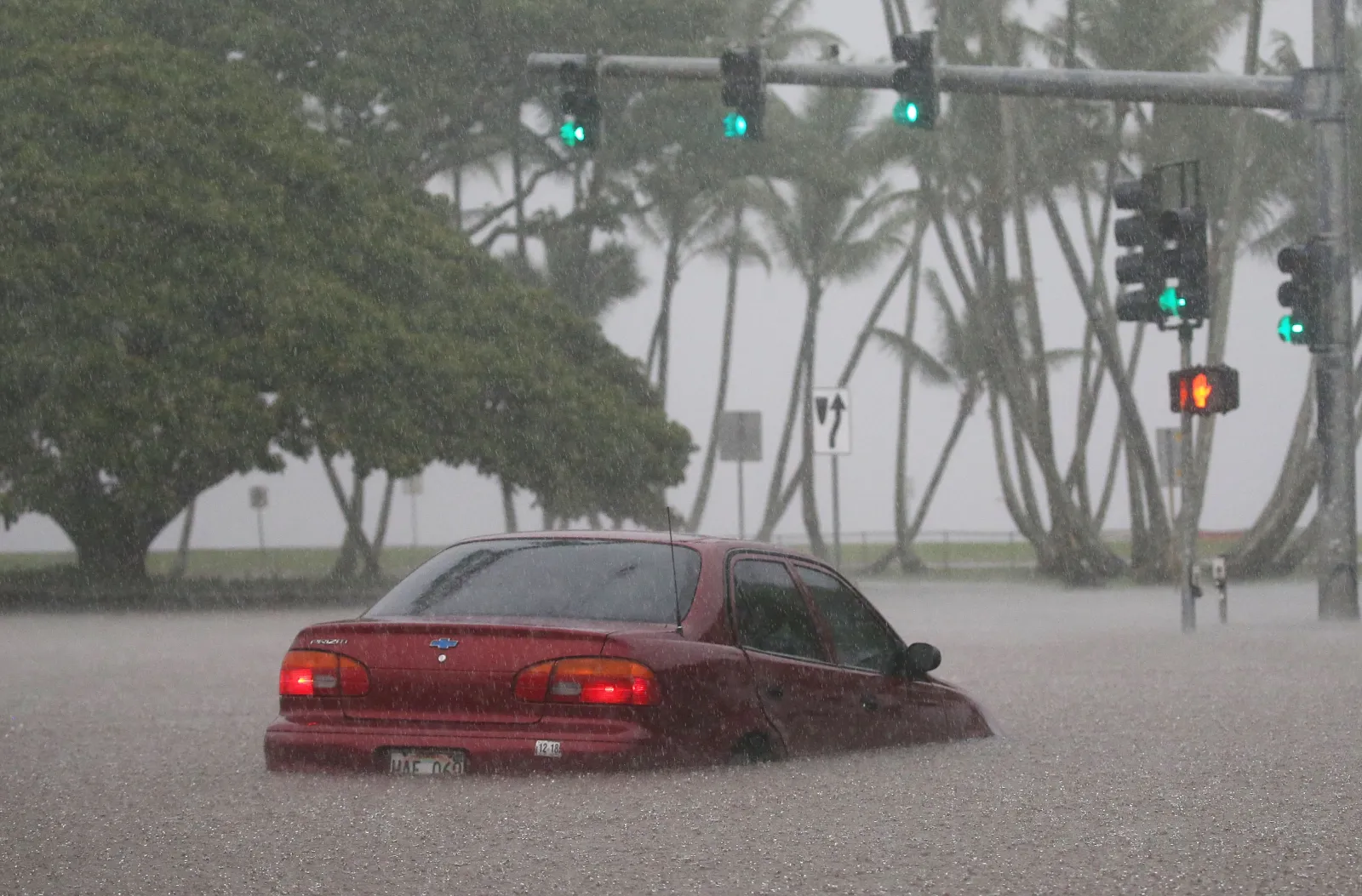
"Significant flooding may occur due to the overflow of streams and drainages. Roads in several areas may be closed, along with property damage in urban or low lying spots due to runoff. Landslides may also occur in areas with steep terrain," NWS Honolulu said in the flood watch. "Considerable flash flooding is possible beginning this morning as a large and powerful kona storm develops northwest of the state and draws deep tropical moisture across the islands. Persistent bands of heavy rain and thunderstorms may produce intense rainfall rates, leading to rapid rises in streams and flooding of roads and low-lying areas."
People residing in or visiting Hawaii this week are urged to follow local forecasts from the NWS as the storm system progress. If flash flooding occurs, immediate action could be required. People are reminded never to drive through flooded roadways, as most flood deaths occur in vehicles.
View 0 Comments
Submit Correction
View Editorial & AI Guidelines