...

By Anna Skinner
Associate News Editor
0
Share
Newsweek is a Trust Project member
See more of our trusted coverage when you search.Prefer Newsweek on Googleto see more of our trusted coverage when you search.
National Weather Service (NWS) meteorologists are warning of another atmospheric river set to hit the Pacific Northwest later this week, with a forecast map of the storm showing heavy precipitation hitting several states.
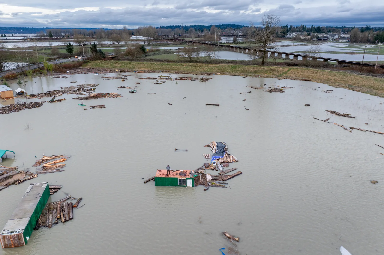
The forecast comes as Washington and Oregon are still recovering from the lingering flood-related impacts from a strong, prolonged atmospheric river that inundated the region with extremely heavy rainfall last week. Flooding can persist even after the storm has passed, NWS Water Center Director Ed Clark told Newsweek.
The storm broke numerous flooding records across the state and prompted evacuations for more than 100,000 people. Atmospheric rivers are a "long, narrow region in the atmosphere—like rivers in the sky—that transport most of the water vapor outside of the tropics," according to the National Oceanic and Atmospheric Administration (NOAA).
Read More on U.S.
The storms brought by atmospheric rivers are known for their heavy snow, heavy rain and strong winds. They more commonly affect the West Coast, particularly during the winter months. Although the storms can bring beneficial snow that helps supplement reservoirs throughout the dry summer season, they can also trigger deadly flooding, mudslides and widespread power outages.
...
Millions in the Pacific Northwest are now bracing for another round of dangerous weather. Some of those impacts were being felt on Monday.
"A Pineapple Express atmospheric river will deliver intense, long-duration rainfall from Monday through Wednesday morning across western Washington, Oregon and northwestern California," AccuWeather said in an email to reporters on Monday. "This follows back-to-back atmospheric rivers that already produced flash flooding, mudslides and swollen rivers in recent days."
Looking further out, another storm is lining up to hit the same area.
"Additional atmospheric rivers are expected to impact the West later this month," the NWS posted on X on Friday. "Given the significant river flooding already impacting Washington and Oregon, a continued risk of flooding and landslides is expected across the region through at least late December."
The NWS Climate Prediction Center also shared the forecast, including forecast maps and a precipitation outlook that revealed a high chance at above-average precipitation for the Pacific Northwest and Intermountain West between December 19 and December 25.

...
A map included with the forecast revealed a high risk of heavy snow for east-central Oregon and northern California, and a high risk of heavy precipitation from northwestern California through southwestern Oregon. A moderate risk of heavy precipitation and heavy snow extends even further, with a moderate risk of high winds expected in California, Oregon, Washington, Idaho, Montana, and Wyoming.
Weather alerts remain in place across the region on Monday, including a flood watch, flood warnings, wind advisory, and winter storm watch.
"A series of weather systems this week will bring another round of significant rainfall to western Washington through Wednesday," NWS Seattle said in a flood watch. "Preliminary liquid totals of 2 to 6 inches, locally higher in some spots, will cause additional sharp rises to area rivers. Urban and small stream flooding remains possible for areas with poor drainage."
View 0 Comments
Submit Correction
View Editorial & AI Guidelines