...

By Anna Skinner
Associate News Editor
0
Share
Newsweek is a Trust Project member
See more of our trusted coverage when you search.Prefer Newsweek on Googleto see more of our trusted coverage when you search.
An Arctic air mass descending into the U.S. has brought such frigid temperatures to some states that one major city broke a 150-year-old daily low temperature record by 5 degrees on Monday.
Why It Matters
Cold weather warnings stretched from North Dakota to as far south as Texas on Tuesday as "dangerously cold" temperatures hit much of the U.S. National Weather Service (NWS) meteorologists warned that record-breaking temperatures were likely, and that proved true for Bismarck, North Dakota, on Monday night.
Read More on U.S.
What to Know
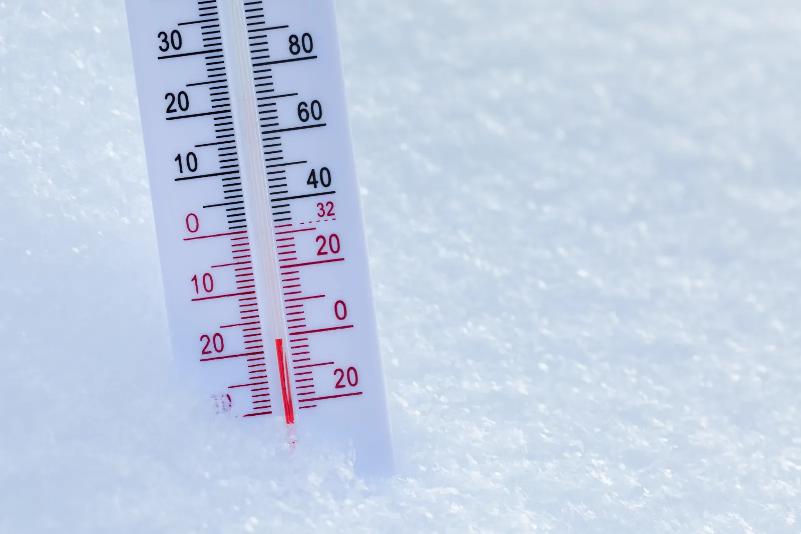
On Tuesday morning, NWS meteorologists in Bismarck shared the new record in a post on X. Temperatures at the Bismarck Airport fell to minus 35 degrees Fahrenheit, which broke the previous record for February 17 by 5 degrees, the post said. Before Monday, the daily low record for February 17 was minus 30 degrees, which was set in 1875.
...
Other North Dakota cities also broke records on February 17 when it came to temperatures. Record readings were recorded at Dickinson and Williston, with the high temperatures at minus 14 degrees and minus 17 degrees respectively, breaking records made in 1894 in Dickinson and 1903 in Williston.
Minot, North Dakota, missed a record-setting temperature by 1 degree, NWS Bismarck said.
Bismarck also broke another daily record on Tuesday, as low temperatures hit minus 39 degrees just after sunrise, which broke the prior record low for February 18, which was made in 1910 at minus 37 degrees.
Tuesday morning's low also was the coldest temperature recorded in Bismarck since January 15, 2009. The all-time cold temperature record for Bismarck is minus 45 degrees.
The records broken were for actual temperatures, but when coupled with wind chill, North Dakota cities could feel even colder. Meteorologists warned of "life threatening wind chills as low as 60 below" for parts of western and central North Dakota, including Bismarck.
The extreme cold warning will last until Wednesday at noon.
Average low temperatures in Bismarck for this time of year are 8 degrees Fahrenheit, NWS meteorologist Connor Smith told Newsweek, meaning the low temperatures on Monday were more than 40 degrees below average. Average temperatures in Bismarck hit the upper 20s this time of year.
What People Are Saying
NWS in a Tuesday forecast: "An Arctic air mass will continue to plunge south through the central U.S. this week with widespread, record-breaking cold likely. Subfreezing temperatures are likely to reach as far south as the Gulf Coast."
NWS Bismarck in an extreme cold warning: "The dangerously cold wind chills could cause frostbite on exposed skin in minutes, and hypothermia shortly thereafter."
What Happens Next
Extreme cold warnings will remain in place until midweek, NWS Bismarck warned. Looking forward, temperatures will rise again. Beginning on Friday, temperatures will hit the 20s and 30s across much of the state, Smith said.
According to the six- to 10-day temperature outlook from the NWS Climate Prediction Center, temperatures in Bismarck, as well as much of the rest of the U.S., are expected to be above average. The outlook is valid for February 23 to February 27.
View 0 Comments
Submit Correction
View Editorial & AI Guidelines