Brendan Smialowski/NWS/AFP via Getty

By Joe Edwards
Reporter
0
Share
Newsweek is a Trust Project member
See more of our trusted coverage when you search.Prefer Newsweek on Googleto see more of our trusted coverage when you search.
Millions of people across the United States are facing a wet and stormy Memorial Day weekend, with forecasters warning of “life-threatening” conditions in some parts.
Why It Matters
The American Automobile Association expects 45 million Americans to journey 50 miles or more between May 21 and May 25. The organization said a year-over-year increase of roughly 200,000 travelers could make 2026’s Memorial Day “the busiest ever for travel.”
Read More on Weather
AccuWeather meteorologists previously warned that repeated downpours expected in some parts of the country could cause travel delays and disrupt outdoor events.
What To Know
The National Weather Service (NWS) Weather Prediction Center (WPC) said several waves of showers and thunderstorms are expected to impact the southern Plains, Lower Mississippi Valley, Mid-South, Southeast, and Ohio Valley over the next couple of days, particularly during the afternoon and evening hours.
Although a widespread severe weather outbreak is not anticipated, some storm clusters could strengthen locally to become severe, potentially delivering hail and “damaging” winds, it said.
The storms could also bring heavy rain and flooding impacts, “especially where soils are already saturated from prior rainfall,” according to the WPC.
Unusually Wet and Cool
Unseasonably cool, damp, and cloudy conditions are expected across the Mid-Atlantic and Northeast, with rounds of rainfall possible Saturday and into Sunday.
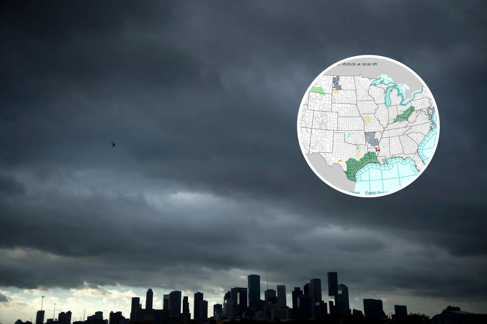
Meanwhile, the agency warned of heavy rainfall and flash flooding concerns across much of eastern Texas and southern Louisiana Saturday afternoon and evening, with “numerous robust clusters of showers and thunderstorms along and north of the Gulf Coast” possible.
The storms may produce heavy downpours at times, with rainfall rates topping two inches per hour. With soils already saturated from earlier rain and storm clusters potentially passing over the same locations repeatedly, the risk of excessive rainfall and flash flooding is rising, it said.
A comparable threat is expected Sunday, as new clusters of soaking storms develop and strengthen across parts of eastern Texas and southern Louisiana during peak afternoon heating, the WPC added.

...
As of early Saturday, flood watches—which signal that flooding is possible—are in place across southern and southeastern Texas, and southwest Louisiana, as well as parts of Indiana, Kentucky, Ohio, West Virginia, and Pennsylvania.
A flood watch for south central Texas, including Atascosa, Bandera, Bastrop, Bexar, Blanco, Burnet, Caldwell, Comal, De Witt, Fayette, Frio, Gillespie, Gonzales, Guadalupe, Hays, Karnes, Kendall, Kerr, Lavaca, Lee, Llano, Medina, Travis, Williamson and Wilson Counties warned “life threatening” flooding could occur.
“Excessive runoff may result in flooding of rivers, creeks, streams, and other low-lying and flood-prone locations. Creeks and streams may rise out of their banks. Low-water crossings may be flooded,” it said. The alert is in place through Monday evening as of reporting.
What Happens Next
The NWS issues forecast updates regularly on its website and social media channels.
View 0 Comments
Submit Correction
View Editorial & AI Guidelines