...

By Anna Skinner
Associate News Editor
0
Share
Newsweek is a Trust Project member
See more of our trusted coverage when you search.Prefer Newsweek on Googleto see more of our trusted coverage when you search.
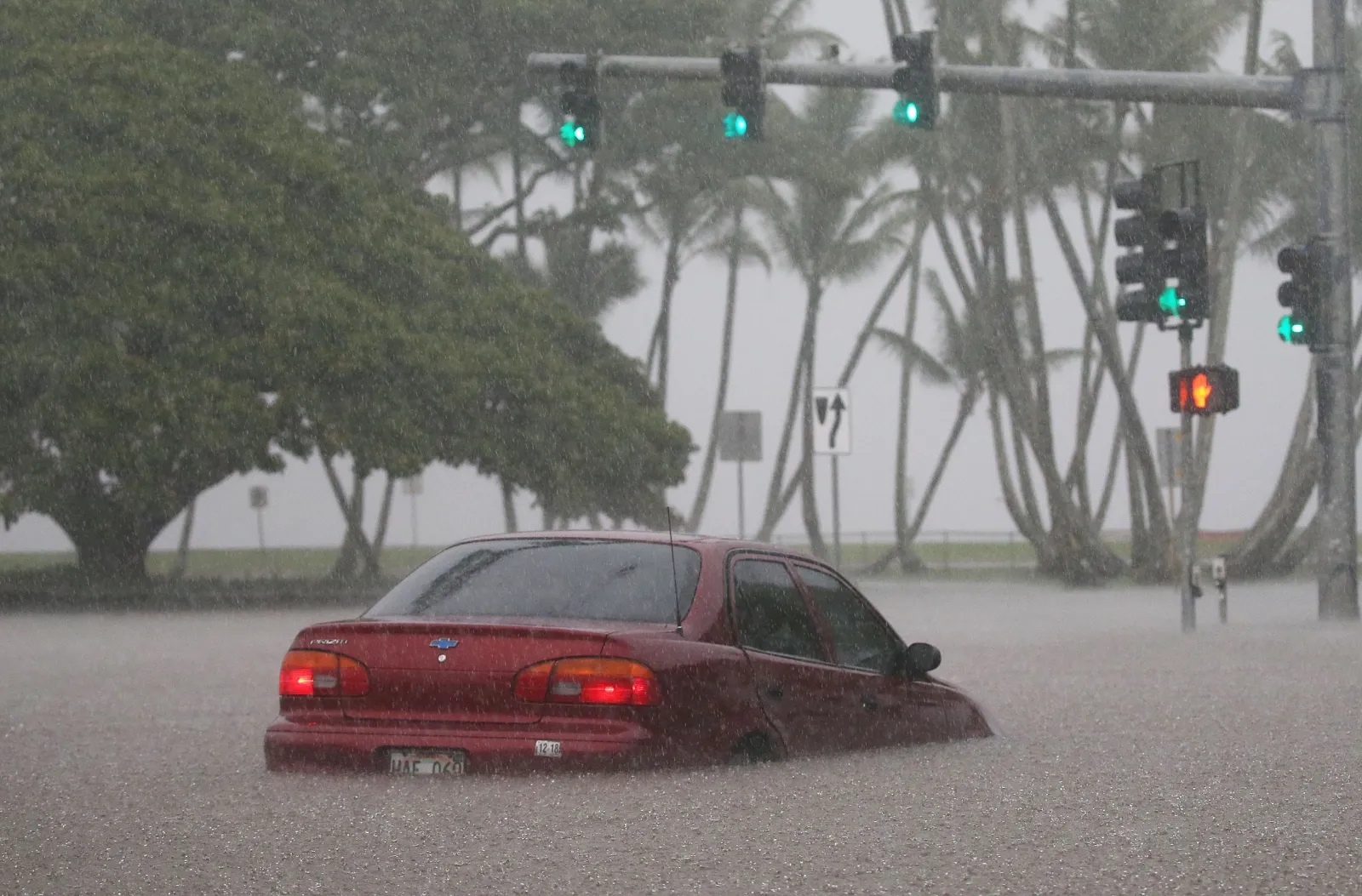
More than 138,000 people in Hawaii were ordered to seek higher ground immediately early Friday morning as dangerous flash floods created a "life-threatening" situation.
A flash flood emergency, which is the National Weather Service's (NWS) most serious flood alert, was issued for northern Oahu early Friday, as road access in and out of Haleiwa is cut off. The warning was originally set to expire at 5 a.m. HST Friday morning, but was extended to 8 a.m. It covers the island of Oahu in Honolulu County, with the most dangerous conditions reported in Haleiwa and Waialua.
More than 138,000 people live in the warning area.
Read More on Weather
...
The emergency comes after Hawaii weathered a week of incredibly heavy rainfall from a Kona low storm system, which produced months' worth of rain, as much as 46 inches, in some parts of the island between March 10 and 15, KCRA 3 reported. The current rainfall is associated with a second Kona low system that will bring impacts to the state through Sunday, NWS meteorologist Robert Bohlin told Newsweek.
"This type of flooding is not normal," Bohlin said. "It is very, very excessive. It's in the realm of possibility, but this intense type of rainfall and kona lows in general are fairly rare. The flooding at this level is extremely rare."
At 3:16 a.m. HST, emergency management reported severe, ongoing flash flooding, swamping roads and low-lying areas and trapping some communities behind inundated routes. Although rainfall briefly eased, significant runoff is sustaining high water levels and dangerous flooding impacts, the NWS said, upgrading the situation to a catastrophic flash flood scenario. Meteorologists labeled it a "particularly dangerous situation." Additional heavy rain bands are expected to move in from the southwest, threatening renewed rises in water and worsening conditions.
"Move to higher ground now! This is an extremely dangerous and life-threatening situation," the warning said. "Do not attempt to travel unless you are fleeing an area subject to flooding or under an evacuation order. Stay away from streams, rivers, drainage ditches, and culverts, even if they are currently dry."
Officials said the Wahiawa Reservoir (Lake Wilson) is slowly rising, increasing the risk for communities downstream along the Kaukonahua Stream, especially near Otake Camp in Waialua. Any additional rise in reservoir levels could significantly increase the flood threat.
Flooding will impact the northern half of Oahu, along and north of a line from Waianae Valley to Mililani Mauka to Waiāhole. The most critical impacts are centered in Haleiwa and Waialua, where widespread road flooding is reported. Landslides are also possible in steep terrain.
Update 3/20/2026, 12:29 p.m. ET: This article was updated to include additional information.
View 0 Comments
Submit Correction
View Editorial & AI Guidelines