...

By Amanda Greenwood
Associate News Editor
0
Share
Newsweek is a Trust Project member
See more of our trusted coverage when you search.Prefer Newsweek on Googleto see more of our trusted coverage when you search.
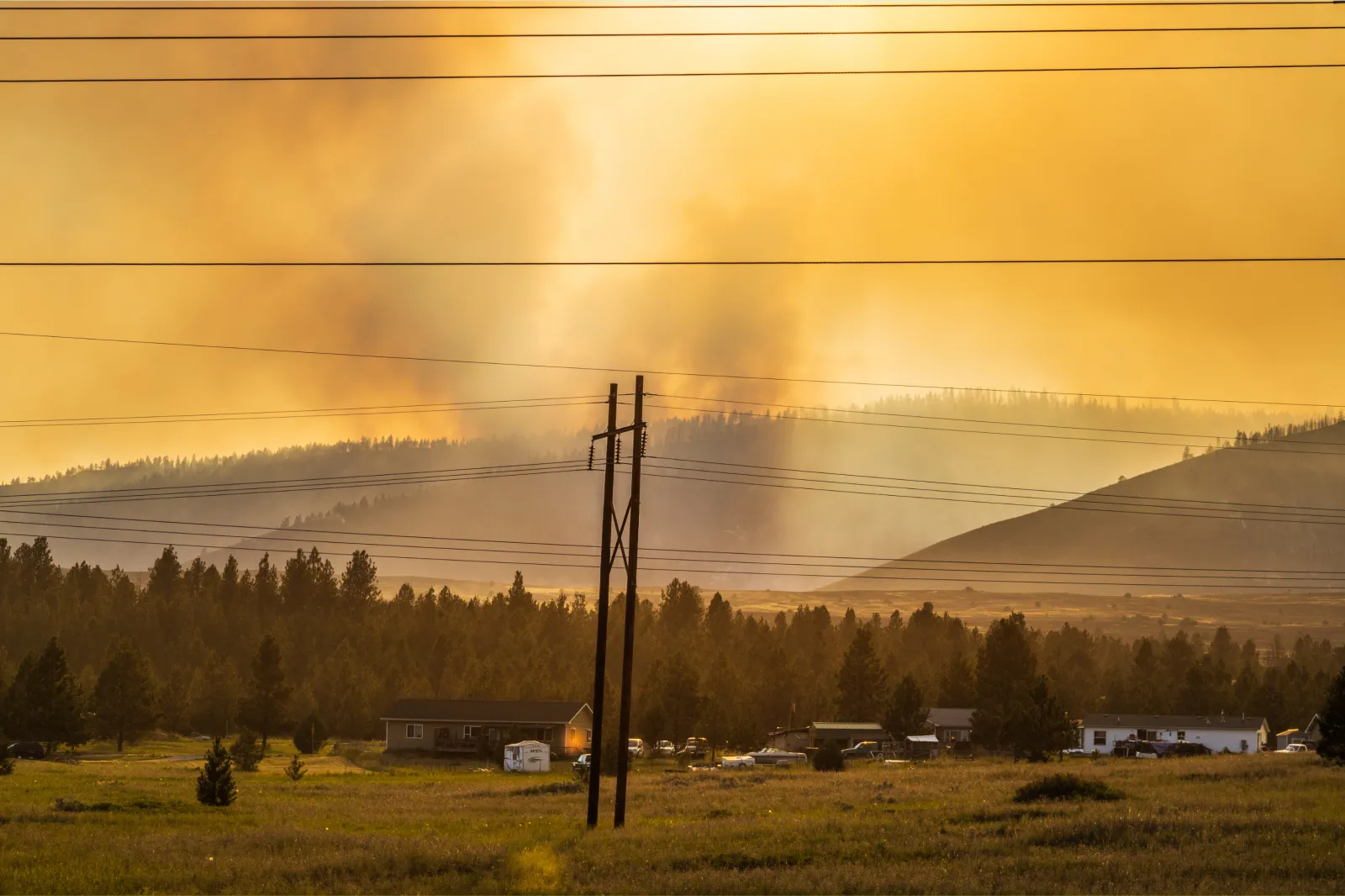
"Critical fire weather condition" warnings (also known as red flag warnings) have been issued across at least five states, with the National Weather Service (NWS) warning that a dangerous mix of heat, strong winds, and extremely dry air could fuel fast-moving wildfires.
The alerts cover large parts of the Northern Plains and interior Alaska, including North Dakota, South Dakota, Nebraska, Montana, and Alaska’s Delta Junction area, where conditions on Monday are expected to be especially volatile.
...
Read More on News
Where the Alerts Are in Effect
In North Dakota, warnings stretch across western and most of central regions, including the James River Valley, where forecasters say fire conditions will be critical throughout Monday.
Across South Dakota, the most severe risk is focused on western and central areas, including the Badlands and surrounding plains, with additional alerts issued for south-central counties.
In Nebraska, nearly all of the central and western portions of the state are under warning, including the Sandhills and key wildlife refuge areas.
Meanwhile, southeastern and northeastern Montana are seeing elevated fire danger, particularly in areas along and north of Interstate 94.
Further north, Delta Junction in Alaska, is also under a red flag warning, with elevated fire risk extending into Monday evening.
Why Conditions Are So Dangerous
Officials say the fire threat is being driven by a combination of high winds, low humidity, and unseasonably warm temperatures.
Wind speeds across the affected regions are expected to range from 15 to 35 miles per hour, with gusts reaching up to 45 or even 50 mph in some locations.
Compounding the threat, wind directions are also forecast to shift sharply—often from southerly to northwesterly—due to the passage of cold fronts, creating unpredictable fire behavior.
At the same time, relative humidity levels could drop as low as 10 to 20 percent, allowing vegetation to dry out rapidly and ignite easily. In parts of the Plains, temperatures are expected to climb into the upper 80s and 90s°F, further intensifying fire conditions.
The NWS also warns that isolated storms in some areas could generate erratic wind gusts, increasing the risk of the sudden spread of fire.
Advice For Residents
The NWS warns that if a fire starts, it could spread very quickly and become difficult—or even impossible—to control, especially in grassland and rural areas.
Residents in affected regions are, therefore, strongly advised to:
- Avoid outdoor burning, including campfires and debris burning
- Use caution with equipment, vehicles, or machinery that could create sparks
- Properly dispose of cigarettes and flammable materials
- Stay alert for rapidly changing conditions, particularly as winds erratically shift
Outdoor activities—such as burning yard waste or debris, outside grilling, and using electrical tools such as chain saws or grinders—that could ignite fires should be postponed, as even small sparks can escalate into large wildfires under these conditions.
Ongoing Fire Risk
While Monday is expected to be the most immediate concern, the NWS is warning that critical fire weather conditions could last into Tuesday and through the week, particularly in parts of the Dakotas.
View 0 Comments
Submit Correction
View Editorial & AI Guidelines