...

By Amanda Greenwood
Associate News Editor
0
Share
Newsweek is a Trust Project member
See more of our trusted coverage when you search.Prefer Newsweek on Googleto see more of our trusted coverage when you search.
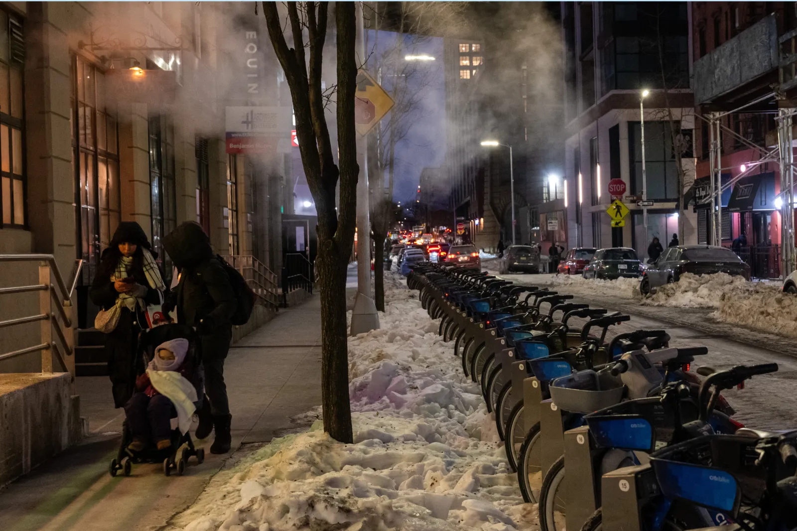
Thousands of residents across eight states have received extreme cold warnings, as the National Weather Service (NWS) advises those in affected areas to wear face masks to protect themselves from the severe winter weather conditions.
...
States Most Affected by Extreme Cold
Washington, Maryland, West Virginia, Pennsylvania, New York, New Jersey, Connecticut and New Hampshire are most likely to be affected by extreme cold temperatures from Sunday, and in some cases, lasting into Monday.
Read More on News
Washington
Parts of Washington are forecast to get wind chills as low as -10 F on Sunday morning, which the NWS says “could result in hypothermia if precautions are not taken.”
Maryland
Areas in central, northeast, northern, and southern Maryland, and Dorchester, inland Worcester, Maryland Beaches, Somerset, and Wicomico, Caroline, Kent, Queen Anne's, and Talbot Counties may experience wind chills that make the temperature feel like -10 F, until Sunday.
Parts of north central and western Maryland could see similar temperatures in the valleys, but it could get down to -20 F along the ridges by mid-morning on Sunday.
According to the NWS, “being outdoors for a prolonged period of time will be life-threatening.”
West Virginia
Parts of northern West Virginia could get “dangerously” cold winds as low as -20 F through Sunday morning, which could cause frostbite or hypothermia in under 30 minutes, “if unprotected skin is exposed,” according to the NWS.
Temperatures in Pocahontas, southeast Randolph, and southeast Webster Counties in the state are expected to get down to -23 F by mid-Sunday morning.
Pennsylvania
Parts of western Pennsylvania could get blasted with -20 F wind chills, and parts of the central state could get down to -25 F through Sunday morning, prompting the NWS to advise those who “must go outside” to dress in layers, including a hat, face mask, and gloves.
Berks, Lehigh, and Northampton counties could see temperatures drop to -23°F until noon on Sunday, and temperatures around -16 F could continue into Monday morning.
Lackawanna, Luzerne, and Wyoming Counties could drop to as low as -28 F until Sunday afternoon.
New York
Temperatures around the eastern Lake Ontario region, northern Warren, Hamilton, and northern Herkimer Counties could fall to below -25 F, in some cases dropping to around -35 F in some areas until Sunday afternoon, with the NWS warning communities that “this is a potentially dangerous situation to be outdoors.”
Wyoming, Livingston, Ontario, Chautauqua, Cattaraugus, Allegany, Adirondacks, and southern Erie Counties and the St. Lawrence Valley could get down to -25 F until Sunday, and northern and southern Nassau County could get down to -17 F until Sunday afternoon.
Northern and southern Westchester, Putnam, and Rockland counties could reach -21 F, and eastern Columbia, eastern Dutchess, and eastern Rensselaer Counties could get to -21 F by Sunday afternoon.
New Jersey
Parts of New Jersey might see wind chills bring temperatures down to -16 F until around noon on Sunday, with cold temperatures of around -6 F expected to continue into Monday morning.
Specifically, Morris, Sussex, and Warren Counties could get as low as -23 F until around noon, and temperatures around -13 F until Monday. Kent, New Castle, Delaware Beaches, and inland Sussex Counties are likely to see -12 F until noon on Sunday and -6 F until Monday.
Carbon and Monroe Counties could get “dangerously cold wind chills” as low as -29 F until mid-morning on Monday.
Eastern and western Bergen and eastern Passaic Counties could see wind chills as low as -21 F, lasting until Sunday afternoon.
Connecticut
Northern and southern Middlesex, northern and southern New London, northern and southern Fairfield, and northern and southern New Haven Counties could see temperatures plummet to -21 F or below, and parts of northern Connecticut could see -30 F until Sunday afternoon.
New Hampshire
Western and central Hillsborough, Merrimack, Sullivan, and Cheshire Counties could see wind chills as low as -30 F until mid-Sunday morning.
How To Cope With Extreme Cold
Other than dressing in layers, including hats, scarves, face masks, and gloves, the NWS has issued the following advice to those likely to face sub-zero temperatures:
- Keep pets inside, and make sure any livestock has access to warm, dry shelter, water, and food that isn’t frozen.
- Monitor the latest local forecasts for any weather updates
- Frequently check in on older family, friends, and neighbors to make sure they are warm enough
- Do not use generators or grills inside
- Call 211 for help if you have no access to heat or shelter
View 0 Comments
Submit Correction
View Editorial & AI Guidelines