10
Loading video...

By Joe Edwards
Reporter
0
Share
Newsweek is a Trust Project member
See more of our trusted coverage when you search.Prefer Newsweek on Googleto see more of our trusted coverage when you search.
A strengthening El Niño in the tropical Pacific carries a greater than 90 percent chance of becoming “very strong” during the fall and winter of 2026–27, federal forecasters said.
The National Oceanic and Atmospheric Administration’s (NOAA) Climate Prediction Center (CPC) announced Thursday that there is a 69 percent chance conditions between October and December could reach “historic” strength, potentially surpassing every recorded El Niño event since 1950.
What Is El Niño?
El Niño is a recurring climate pattern characterized by warmer-than-average sea surface temperatures in the central and eastern tropical Pacific. It is one phase of the El Niño-Southern Oscillation, or ENSO, which heavily influences global weather patterns. Typically, the phenomenon brings wetter conditions to the southern United States, including the Gulf Coast and Southeast, while leaving the northern U.S. and Canada warmer and drier than usual.
Read More on Weather

...
How 2026 Could Compare With Past Strong El Niños
Meteorologists are currently evaluating how the developing cycle will measure up against historical benchmarks, most notably the severe events of 1982–83, 1997–98 and 2015–16.
AccuWeather senior meteorologist Tyler Roys told Newsweek the current event “has a chance at the record,” adding: “[The] strongest El Niño was the 1982-83 El Niño… 2015-16 was the second strongest.”
The 1982–83 and 1997–98 seasons remain defining points of reference for forecasters, having triggered heavy rainfall, severe flooding and landslides across California. However, NOAA notes that the impacts of individual El Niño episodes can vary significantly.
The 2015–16 event proved equally potent. NOAA described it as “on par” with its historic predecessors, driving severe droughts in the Caribbean and Ethiopia, fueling record hurricane activity in the central North Pacific, and triggering a major spike in atmospheric carbon dioxide at the Mauna Loa Observatory in Hawaii. That season also yielded what was then the highest global surface temperature on record.
By December 2015, equatorial Pacific temperature, rainfall and air pressure disruptions mirrored those of the 1982 and 1997 extremes. Yet, that year underscored the limits of forecasting by strength alone. AccuWeather lead long-range expert Paul Pastelok told Newsweek “not all El Niños are exactly the same,” pointing out that the 2015–16 season defied typical expectations by delivering warmer and drier conditions to California while producing wetter weather in the Pacific Northwest.
Pastelok said Monday that AccuWeather was “staying just over 90 percent” confident that the upcoming event will join the ranks of the very strong El Niños recorded since 1950. He noted that the intensifying climate signal bolsters expectations for “a stronger southern branch of the jet stream” heading into the colder months, along with “wetter conditions across many parts of the southern U.S.” and a reduced frequency of named storms in the Atlantic Basin.
Related Story
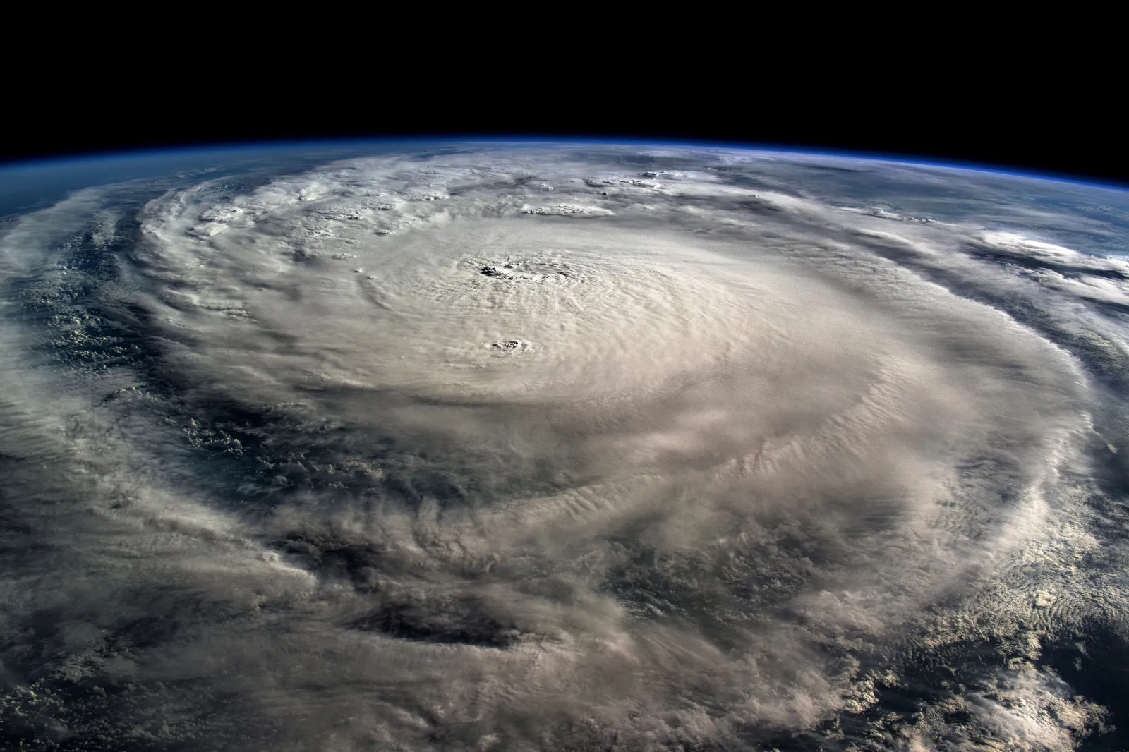
What 2026 Super El Niño Could Mean For Hurricane Season

...
U.S. and Global Outlooks
For the U.S., NOAA indicates that El Niño’s most consistent impacts emerge during the cold half of the year, from October through March. Historical data over the past century shows that a majority of El Niño events feature above-average precipitation along the Gulf from Texas to Florida. While precipitation in California and the Southwest correlates closely with the overall strength of an event, the most powerful El Niños historically carry the highest probability of drought-relieving rainfall for the region.
Roys noted that while summer correlations are weaker, traditional El Niño footprints tend to favor wetter conditions from the central Plains to the Ohio Valley, alongside heightened heat and dryness in the Northwest. By winter, the active storm track often shifts from the southern Plains and Southeast toward the Northeast, accompanied by fewer Arctic outbreaks and a wetter West Coast, including Southern California.
Globally, a super El Niño carries the potential to alter temperature and precipitation regimes across multiple continents for months. According to AccuWeather and The Weather Channel, vulnerable regions could face disruptions to food production, water security and fisheries. United Nations humanitarian officials warn that El Niño typically elevates drought risks in Central America, Southeast Asia, the Sahel and Southern Africa, while exacerbating flood hazards in East Africa and South America.

...
Related Story

How Super El Niño Could Impact Western Drought—Experts Make Predictions

...
Impacts Are Not Guaranteed
Still, NOAA cautioned that even with an event of this magnitude, El Niño-style impacts are more likely, not guaranteed. As Pastelok put it, other forces including marine heat waves, Pacific-wide water temperatures and the polar vortex can alter how a very strong El Niño fall and winter unfolds.
“Nothing at this time besides the idea that this El Niño (26-27) could be the strongest on record should be remarkably different than the other previous strong ones,” Roys told Newsweek.
Contact Newsweek editors for this story: Ben Kelly and Anthony Murray.
View 0 Comments
Submit Correction
View Editorial & AI Guidelines