...

By Anna Skinner
Associate News Editor
0
Share
Newsweek is a Trust Project member
See more of our trusted coverage when you search.Prefer Newsweek on Googleto see more of our trusted coverage when you search.
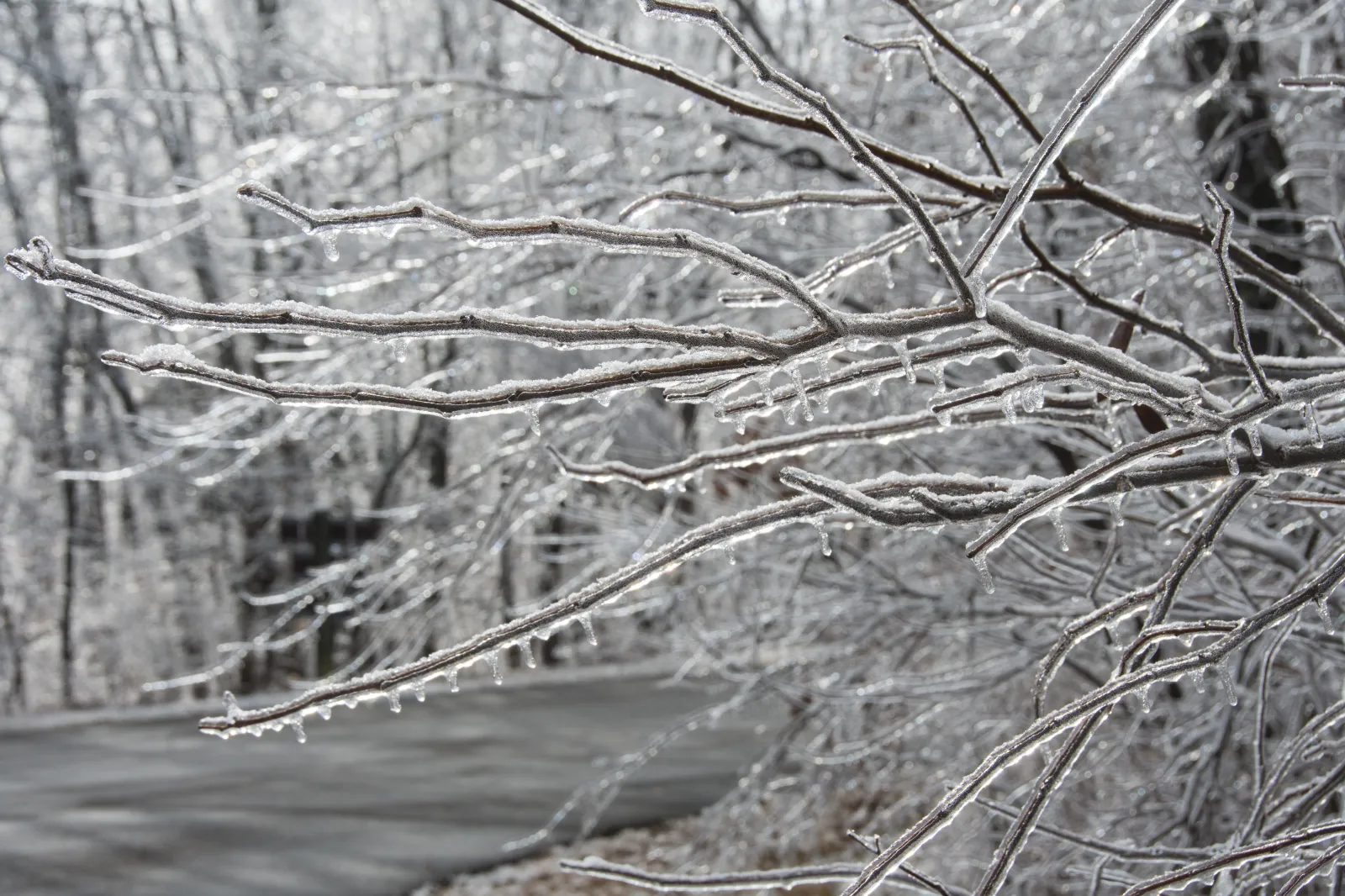
A quick-hitting winter storm will bring a narrow band of ice through several states overnight Thursday into Friday, threatening dangerous travel and possible power outages.
Thousands of Americans are preparing for a hazardous ice storm forecast to move across the Central and Eastern United States. This storm follows a series of destructive winter events that already affected holiday travel and daily life, adding further complications in regions recovering from prior storms. The risk of dangerous driving conditions, widespread travel delays, airport disruptions, and possible power outages underscores the storm’s significance for residents and transportation networks throughout the affected area.
Although the incoming storm will produce less snow than its predecessor, which walloped the Northeast and Mid-Atlantic earlier this week, several inches of snow are still expected, AccuWeather senior meteorologist Alan Reppert told Newsweek.
Read More on News
Forecasters expect a fast-moving storm system to sweep from parts of Oklahoma, Missouri, and Arkansas on Thursday to portions of New Jersey, southeastern New York, and southern New England by Friday evening. According to meteorologists, this system will pull in ample cold air, resulting in a mix of ice and snow along its northern boundary.
...
Animated weather footage from windy.com shows ice beginning overnight Thursday.
Areas most at risk for the ice mix include southern Kentucky, northern Tennessee, a band through North Carolina, parts of southern Virginia, with snow possibly spreading north toward Washington, D.C., and Maryland by late Friday. Highways in Virginia and northern North Carolina are expected to be especially slick, with snow and ice creating treacherous driving conditions from Thursday night through Friday.
The extent and northern reach of snowfall depend on how far cold air extends before drier conditions set in, potentially limiting major accumulations in areas such as New York City.
"There will be plenty of cold air in place ahead of the storm, so much of the precipitation can fall as snow or ice along the northern edge. The significant question for now and as the storm gets underway is: How far north can the snow spread before running into overwhelmingly dry air?" AccuWeather Senior Director of Forecast Operations Dan DePodwin said in a report.
An icy mix is projected near and north of cities, including Little Rock, Charlotte, Nashville, and Memphis, contributing to slippery conditions in Asheville, Winston-Salem, and Raleigh, North Carolina. Motorists in Roanoke, Harrisonburg, and Richmond, Virginia, are advised to expect snowy roads.
The rapid pace of this system is likely to limit snow and ice accumulation, but even trace amounts can create hazardous travel.
Farther south, heavy rain is set to affect much of Louisiana, Mississippi, Alabama, and the upper Texas coast, shifting toward northern Florida, Georgia, and the Carolinas by Friday. Rainfall totals in the 1-2 inch range are likely, with localized areas seeing up to 4 inches, raising the risk of urban flooding and ponding on roadways.
Recent severe weather has already brought several inches of snow to regions in central Ohio, Missouri, Kentucky, and New Hampshire. Key areas in the Northeast remain under various winter warnings on Thursday morning.
View 0 Comments
Submit Correction
View Editorial & AI Guidelines