...

By Joe Edwards
Reporter
0
Share
Newsweek is a Trust Project member
See more of our trusted coverage when you search.Prefer Newsweek on Googleto see more of our trusted coverage when you search.
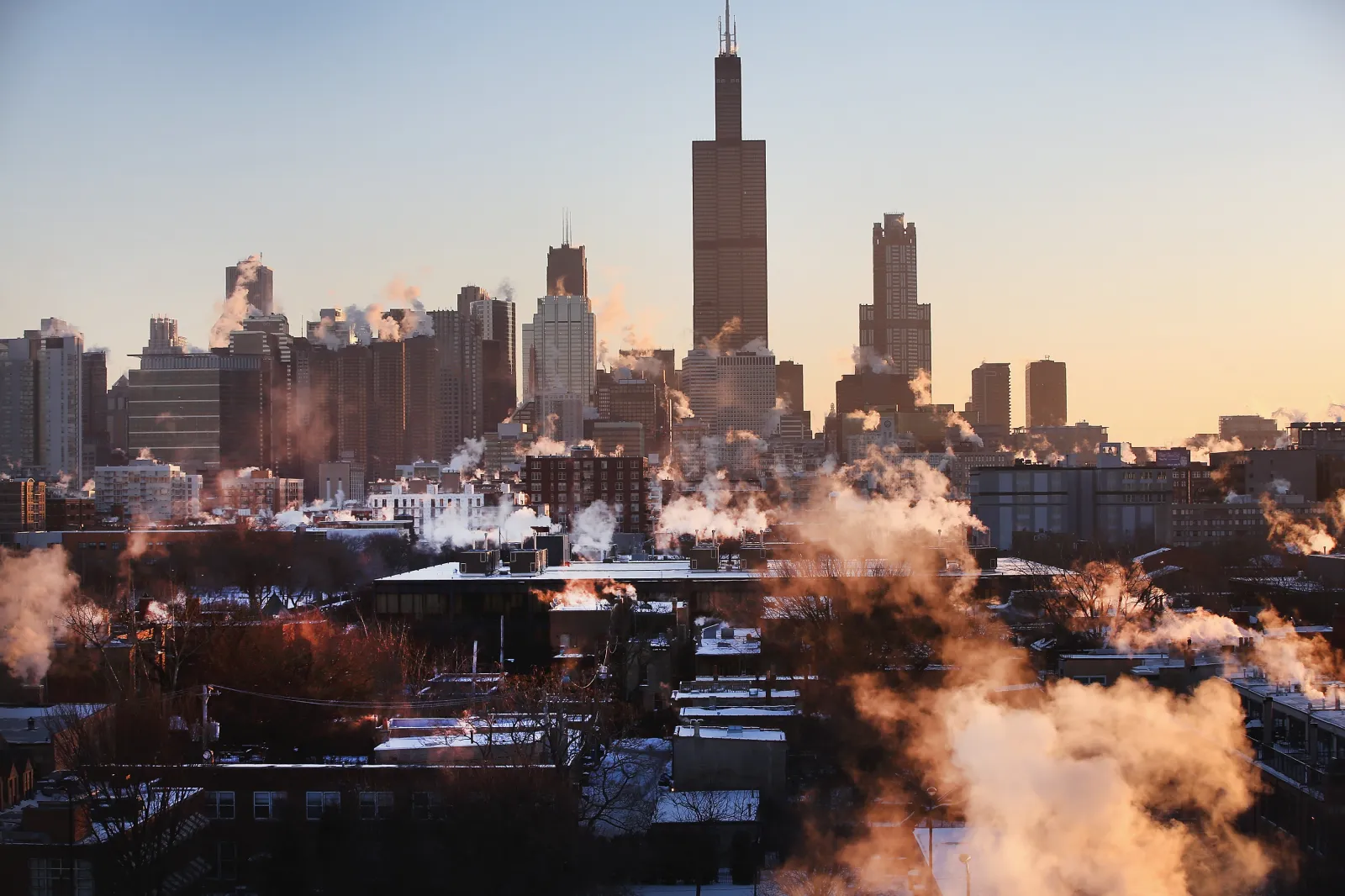
Chicago faces its worst start to winter in nearly 150 years, according to a prominent weather blogger, with temperatures potentially dropping to -14 degrees Fahrenheit in the coming days.
Why It Matters
Those in the Midwest are no strangers to cold winters, with Chicago seeing an average December high of 36.6 degrees Fahrenheit and a low of 24.4, according to National Weather Service data. However, temperatures in some areas could drop as low as 30 degrees below their historical average in the weeks ahead, one meteorologist told Newsweek on Monday.
Read More on U.S.
What To Know
“If you continue stretching the polar vortex, eventually it will let loose obscenely cold air. By next weekend into following week, the bottom drops out completely with coldest early December temperatures since 1876 in Chicago,” Weather Trader’s Ryan Maue posted Sunday on X.
In another post, Maue explained that a forecast model expected -14 degrees to be Chicago's low temperature on December 8, and that the coldest, earliest -14-degree day for the city was recorded on December 9, 1876. The temperature dropped to nearly this level in 1903, with a recorded -13 degrees on December 13 of that year.
AccuWeather lead long-range expert Paul Pastelok told Newsweek that upper-stratospheric winds at this time of year are typically westerly, circling counterclockwise around a low-pressure zone known as the Polar Vortex. When the polar vortex is strong early in winter, the coldest air stays locked over the pole, and the lower polar jet stream that steers these air masses is usually flat.
“When the polar vortex is weaker in the late fall and early winter, it is more vulnerable to potential disruptions to the persistent westerly flow,” Pastelok said. “The flow slows and sometimes can turn easterly, which occurred on November 28th.”
This leads to more “dips and wobbles over time to the polar jet stream which is again lower in the atmosphere and drives airmasses globally," he said.
“In early winter scenarios, it does not take as long to see a reaction from this disruption. Later in the winter, sometimes it takes two to three weeks. In the coming weeks, we will see a reaction to this disruption with some strong cold shots. However, there are other factors involved that will contribute to bitter cold surges, or near record temperatures," Pastelok said.
The coldest air could be from the northern Plains to the Midwest, Pastelok said. Temperature departures could run 15-30 degrees below average during any of three cold surges expected this week, early next week, or early the week of December 15.
The meteorologist said there is a possibility of “the coldest early December period on record for some areas,” but this was due to a combination of the polar vortex disruption and other factors, including La Niña.
...
What People Are Saying
Ryan Maue posted Sunday on X: “World class ‘polar vortex’ Arctic blast for early December. We can't get any colder or more brutal without going back to the days of the 'wooly mammoths' and mastodons. And into mid-December, it's only going to get worse. We're in for the worst start to winter since 1876.”
What Happens Next
For local forecast updates, regional National Weather Service branches provide regular updates via the agency’s website and social media channels.
View 0 Comments
Submit Correction
View Editorial & AI Guidelines