...

By Anna Skinner
Associate News Editor
0
Share
Newsweek is a Trust Project member
See more of our trusted coverage when you search.Prefer Newsweek on Googleto see more of our trusted coverage when you search.
Millions of Americans living in the Northeast are under winter weather advisories on Tuesday, and meteorologists are warning that another storm is lining up to hit the region later this week.
So far this week, frigid temperatures are improving across much of the United States. However, winter weather is persisting, bringing snow and ice across the Northeast. As of Tuesday afternoon, National Weather Service (NWS) meteorologists have issued winter weather advisories for parts of New York, Pennsylvania, Vermont, New Hampshire, Massachusetts, Connecticut, Rhode Island and Maine.
Elsewhere in the U.S., Michigan, Wisconsin, Montana, Idaho, Washington, Wyoming, Oregon and California had winter weather advisories in place.
Read More on U.S.
Snow and an icy mix are currently impacting New York through northern New England, with rain and falling temperatures expected in states further south, AccuWeather reported. Snowy conditions are expected to persist into Wednesday, followed by a brief reprieve before another storm system moves across the U.S. and brings cold air back.
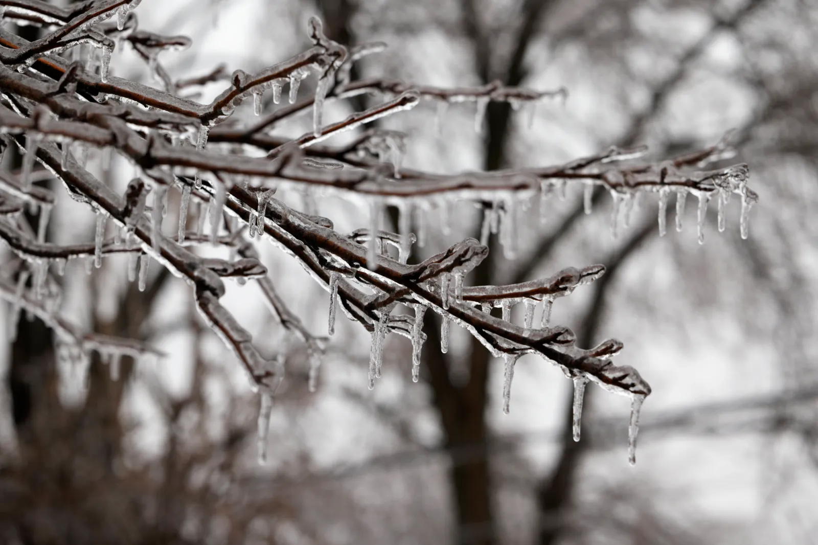
NWS Burlington meteorologist Eric Myskowski told Newsweek that the biggest concern is the potential for freezing rain to cause hazardous travel in northern New York and southern Vermont. The heaviest freezing rain will fall between 7 p.m. and midnight. Snow will fall further north and east, and that will linger through tomorrow morning.
...
"Slow down and use caution while traveling. Be prepared for slippery roads," NWS Albany said in Tuesday's winter weather advisory. "If you are going outside, watch your first few steps taken on stairs, sidewalks, and driveways. These surfaces could be icy and slippery, increasing your risk of a fall and injury."
The NWS office in Gray, Maine, warned of up to 2 inches of snow, with additional sleet and ice contributing to road hazards.
"Be prepared for variable travel conditions and slow down when you approach areas of heavier snowfall as road conditions could change rapidly," the office said in a winter weather advisory. "A period of mixed precipitation is expected with air temperatures remaining below freezing. Expect slippery road conditions and avoid travel if possible. Even light snowfall amounts can accumulate on roads and cause dangerous driving conditions due to snow covered roads. The hazardous conditions could impact the Wednesday morning commute."
AccuWeather's forecast anticipates that the incoming storm, currently bringing snow and rain on the West Coast, will move across the U.S. as the week progresses. The storm will bring rain to Texas by Thursday, then expand northward to affect the Great Lakes region by the end of the week.
Then, after the system brings thunderstorms throughout the central U.S., warm air will move into the Northeast ahead of the storm, meaning mostly rain for the Northeast once the storm arrives, with some wintry weather expected in Maine.
Looking further out, the NWS Climate Prediction Center anticipates a chance of above-average temperatures across much of the U.S., including Northern New England, between January 11 and January 15. During that same time period, chances are that precipitation will be below average.
View 0 Comments
Submit Correction
View Editorial & AI Guidelines