...

By Anna Skinner
Associate News Editor
0
Share
Newsweek is a Trust Project member
See more of our trusted coverage when you search.Prefer Newsweek on Googleto see more of our trusted coverage when you search.
An arctic blast and bomb cyclone could occur simultaneously this weekend, influencing weather across the eastern United States and bringing another winter storm to the Eastern Seaboard.
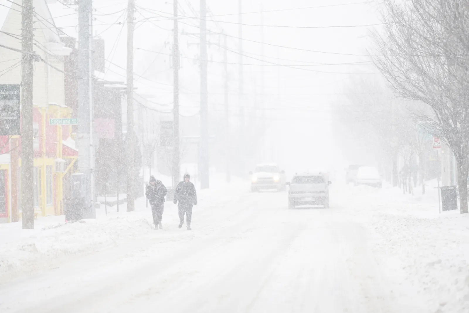
The forecast comes only days after Winter Storm Fern swept across a large part of the U.S. from Texas through the Northeast, killing at least 30 people. Hundreds of thousands of people remain without power on Tuesday as chances increase for another impactful winter storm to hit this weekend, influenced by arctic air descending into the U.S. and a storm brewing off the East Coast that is expected to rapidly intensify into a bomb cyclone.
What Is a Bomb Cyclone?
A bomb cyclone occurs when the central pressure of a low-pressure system drops at least 24 millibars within 24 hours, according to the Weather Channel. The rapidly intensifying storm can cause significant impacts. Bomb cyclones typically occur off the East Coast, and the storms can be accompanied by strong winds and snowfall.
Read More on U.S.
"We know that low pressure is likely to quickly strengthen offshore of the Outer Banks on Saturday night," MyRadar senior meteorologist Matthew Cappucci wrote in a post on X on Tuesday morning. "It will probably become a 'bombogenetic cyclone,' meaning it will rapidly deepen, or intensify. That means a strong, windy system vacuuming lots of air inwards. At the very least, the Outer Banks and Cape Cod will see 40+ mph winds."
Although forecast totals for snowfall and the storm's exact timeline and path remain uncertain, AccuWeather senior meteorologist Tom Kines told Newsweek the storm likely won't affect the hardest-hit communities still recovering from Winter Storm Fern.
A map from the National Weather Service (NWS) Weather Prediction Center revealed that coastal North Carolina and Virginia have the highest chance of at least moderate impacts from the incoming bomb cyclone.
...
Arctic Blast Prompts Warnings in Florida
In addition to the bomb cyclone, arctic air has prompted NWS meteorologists to issue cold-weather-related alerts, including extreme cold warnings from the U.S. South up into the Midwest. Temperatures are expected to worsen this weekend, with freeze warnings issued as far south as Florida.
"The coldest air this winter is coming down this weekend. A widespread pipe-busting freeze is expected across the Southeast on Sunday morning," WSVN meteorologist Dylan Federico posted on X on Tuesday. "I’m particularly concerned about Florida, which could experience its worst freeze since 2010. Crop farmers should be preparing for a multi-night hard freeze on Sunday and Monday in Central Florida. There is the potential for widespread 30s penetrating down into South Florida and Miami, which is extremely rare, and will send the iguanas falling."
As experienced with Winter Storm Fern, long-duration sub-freezing temperatures can amplify the impacts of a winter storm. For example, ice that accumulated during the storm will remain frozen, which could mean post-storm clean-up and power repairs take longer than usual.
With the incoming storm this weekend, meteorologists anticipate the biggest threat to be snow, although exact amounts and hardest hit areas are still unclear, given the storm is days away.
View 0 Comments
Submit Correction
View Editorial & AI Guidelines